Torre de Das
Municipality: Das
Coordinates: 42.35983, 1.86685
Elevation: 1.213 m
Mobile coverage: Yes
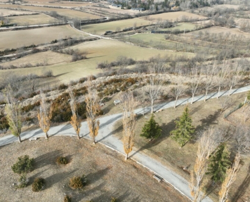
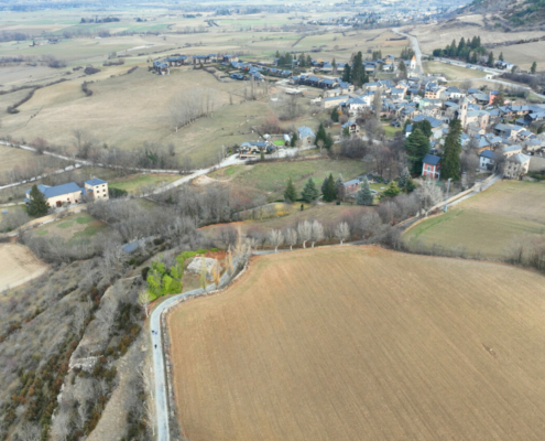
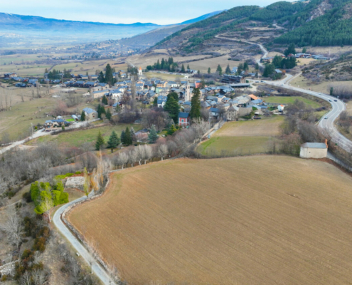
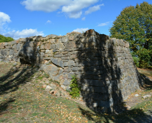
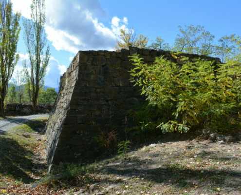
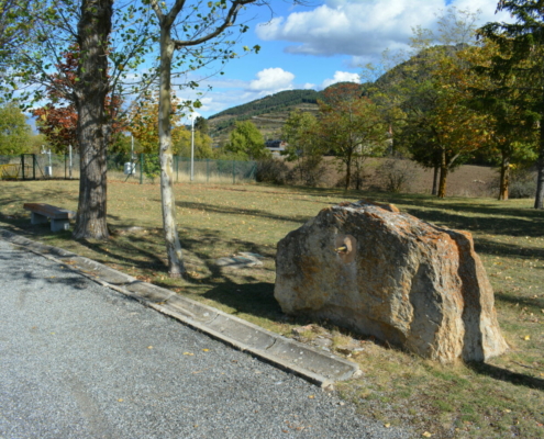
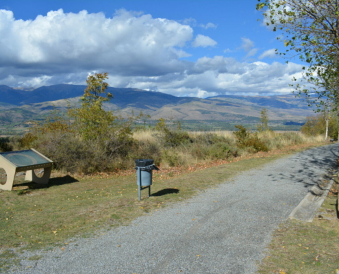
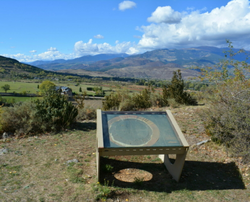
How to get there: From the center of Das, take Passeig de la Torreta which leads to the cemetery. While walking along this wide path, 125 meters after leaving the village, you’ll see the tower and about 50 meters further on, the panoramic viewing area.
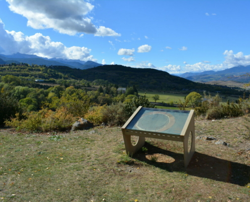
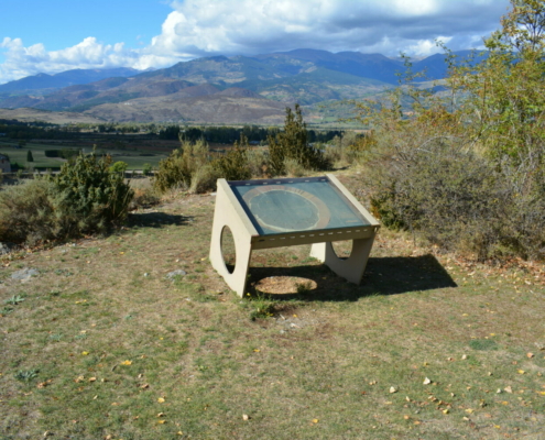
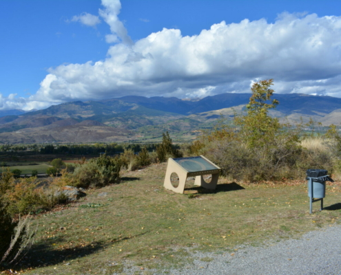
Available facilities: This area has a paved path for a pleasant walk from Das to the cemetery. There’s an interpretation board, a fountain and benches to sit on.
Accessibility for people with reduced mobility: The path is accessible to reach the lookout point.
What to see:
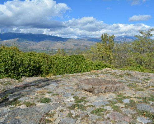
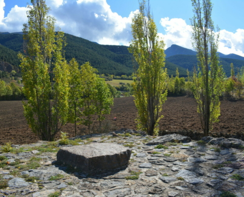
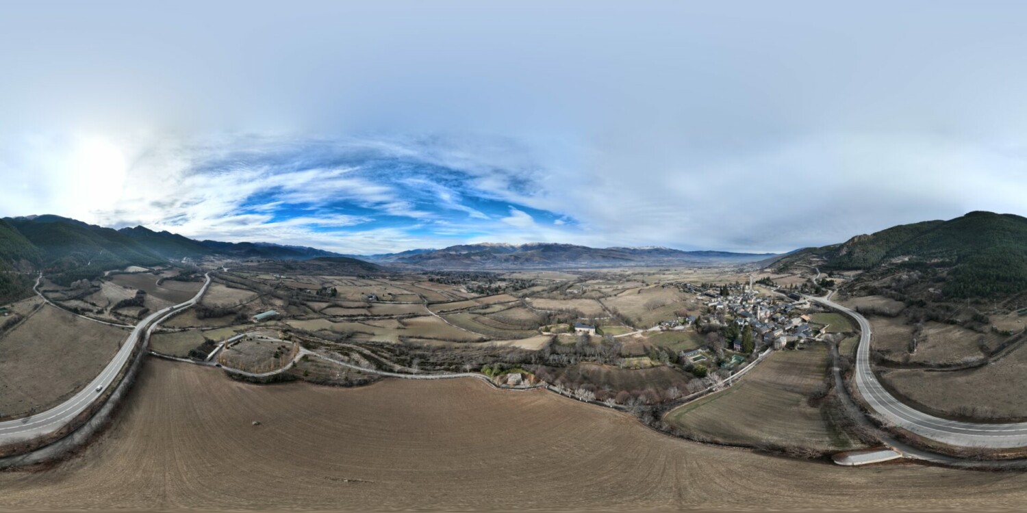
This accessible viewpoint offers views to the south, where you’ll see the forests of Alp and, in the foreground, Santa Bàrbara Shrine amidst grazing land, where you’ll find herds grazing in the summer. To the north, you’ll see the Cerdanya valley floor, offering a quintessential snapshot of livestock farming in the area, separated by deciduous trees, and beyond, the mountains of Puigpedrós and Carlit, in sun-soaked Cerdanya.


