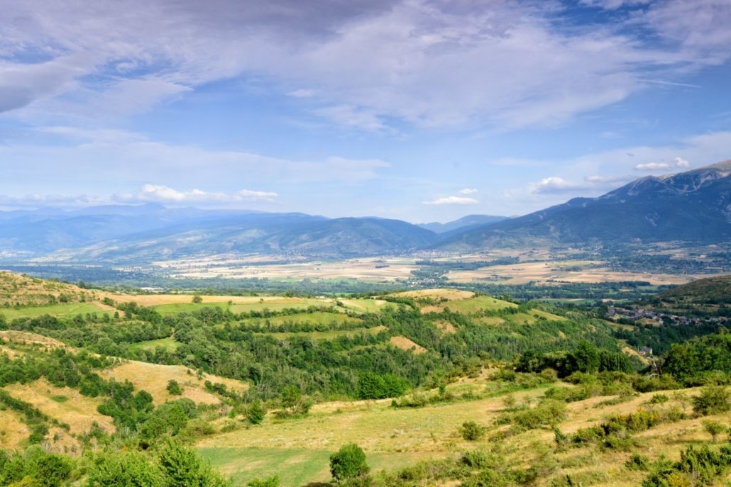
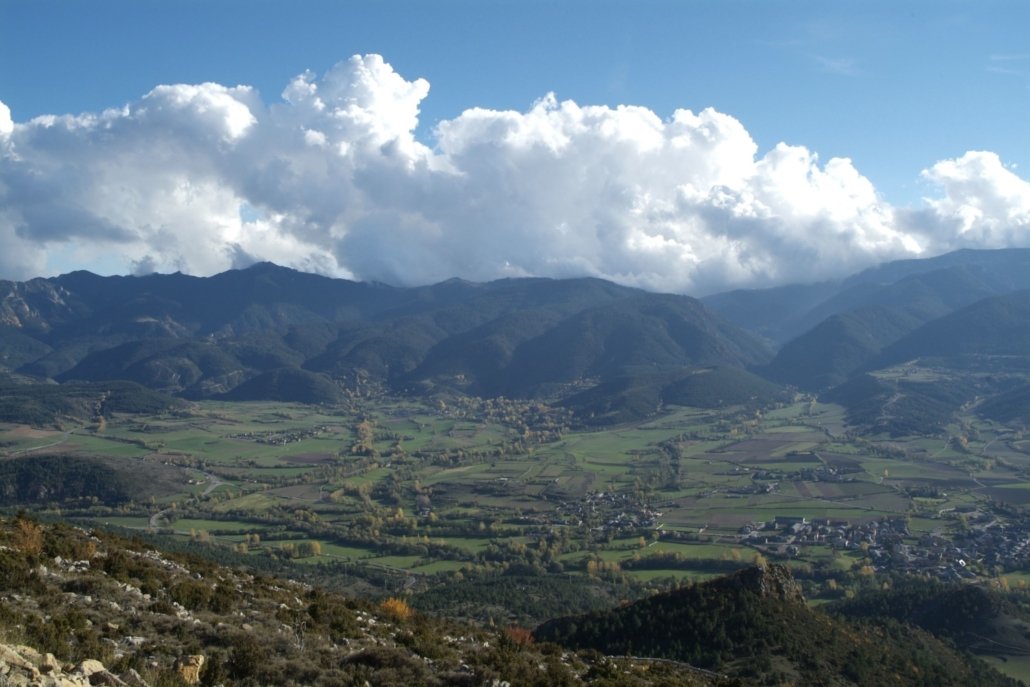
La Cerdanya is a Catalan region defined by geographical, climatic and historical features that give it a very particular character. Nestled mainly by the upper Segre Valley, La Cerdanya is one of the widest valleys in Europe, where its altitude and the fact that it has more than three thousand hours of sunshine a year stand out.
Its location, between the Pyrenees and the Cadí and Moixeró mountains, determines its climate, between the Atlantic and the Mediterranean. This means that three natural biogeographical units have been defined: the sunny slope, the plain and the shady slope.
La Plana
As its name suggests, this geographical unit of La Cerdanya is the flattest of the three, with an average altitude of 1000 meters, it has no appreciable differences in level, its important width of between 6 and 8 km gives it the quality of being one of the widest valleys in Europe. These include traditional agricultural crops, lawn mowing and traditional irrigation systems. The banks of the Segre are populated by a group of vegetation called “Bosc de Ribera”, the best preserved in Catalonia and is protected by a PEIN. The presence of the otter stands out in this place.
It is the most populated part of La Cerdanya, where its capital, Puigcerdà, is located. In the center of the plain there are many of its towns: Puigcerdà as the county capital, and also the villages of Llívia, Bolvir, Ger, Isòvol, Bellver, Prullans, Martinet, Prats…
La Solana
The Sunny slope is part of the Axial Pyrenees and delimits La Cerdanya from west to northeast, diagonally. It is the part of the region closest to the French Pyrenees, also bordering Andorra. The abundant presence of peaks is quite remarkable. It is the area where the most important heights of the region are located, such as the peak of Puigpedrós (2914 m.), The highest of La Cerdanya, where you can get there through the tourist route that starts from the town of Meranges; the peak of Envalira (2825 m.); the peaks of Fontnegra (2877, 2830, 2788 m.), or Tossa Plana de Lles (2905 m.), among many others. This is why mountaineering is one of the most popular sports in the area.
La sunny slope has high areas where Mediterranean vegetation and fauna predominate. The abundant presence of medicinal plants and caves in the limestone formations is also one of the characteristics of the sunny slope. The Tossals d’Isòvol and Olopte are also a protected area of natural interest (PEIN).
La Baga
La Baga is a confluence of the Axial Pyrenees and the Pre-Pyrenees in the eastern part, with a number of peaks and mountain ranges, and in the south-western part there is the great Cadí-Moixeró mountain range. A large part is the territory of the Cadí-Moixeró Natural Park , in this protected area we can find, in addition to the natural beauties that give the rugged orography, the water and the vegetation, a series of places of undoubted interest. and cultural and historical appeal.
La Baga is also an ideal area for sightseeing and hiking trails. You can also go mountaineering along the main peaks, most notably the Puigmal at 2910 m. of altitude, the Tosa d’Alp (2536 m.), the Penyes Altes del Moixeró (2276 m.), or places as beautiful as the Prat de Cadí.


