Serrat de les Esposes
Municipality: Riu de Cerdanya
Coordinates: 42.32507, 1.82874
Elevation: 1.511 m
Mobile coverage: Yes
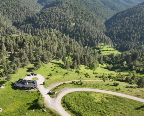
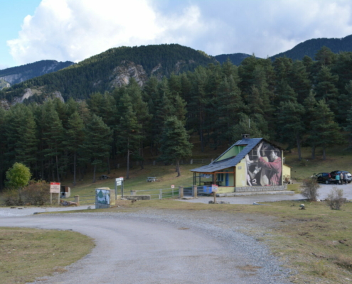
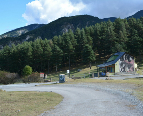
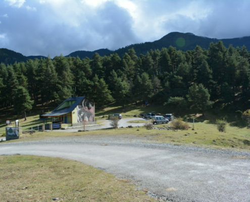
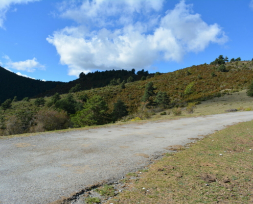
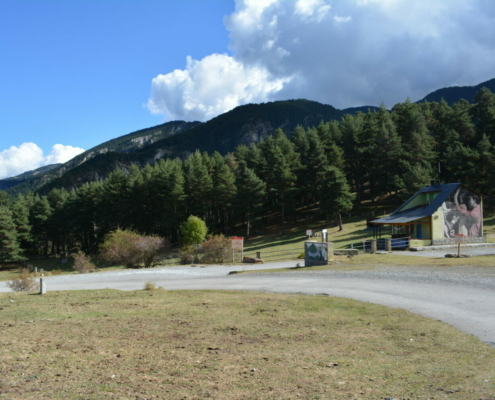
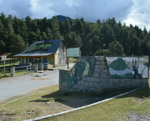
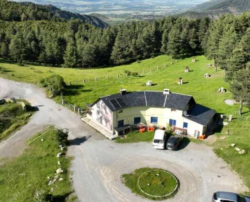
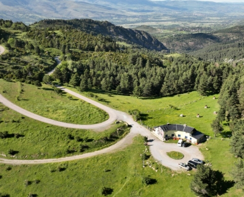
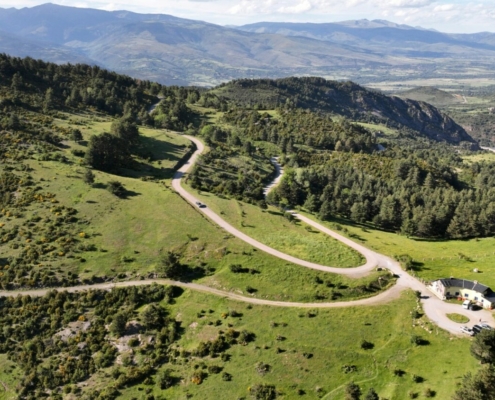
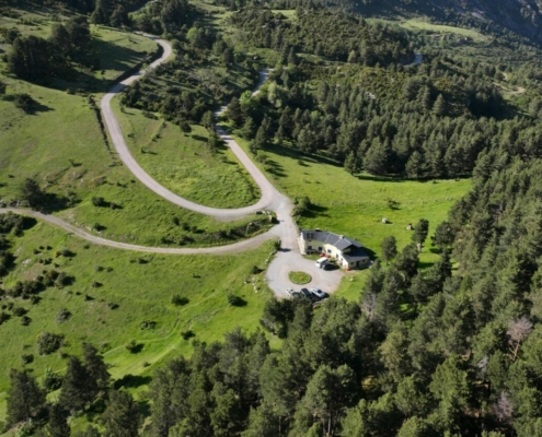
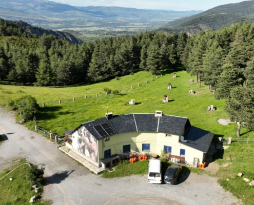
How to get there: Forest track from Riu de Cerdanya, with paved and dirt sections. You can get to the door of the shelter, where you’ll find a parking lot.
Available facilities: There’s no viewpoint as such.
Accessibility for people with reduced mobility: Since you’ve chosen the track around the shelter, it is accessible.
What to see:
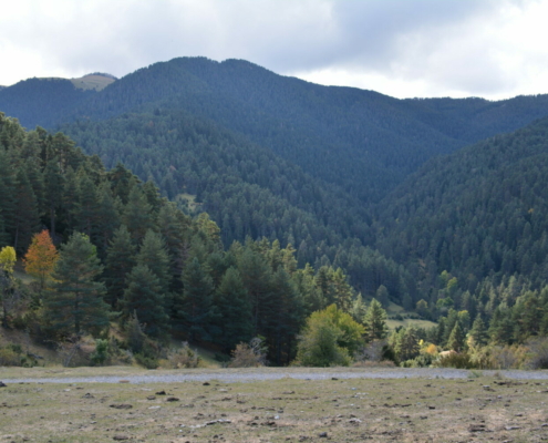
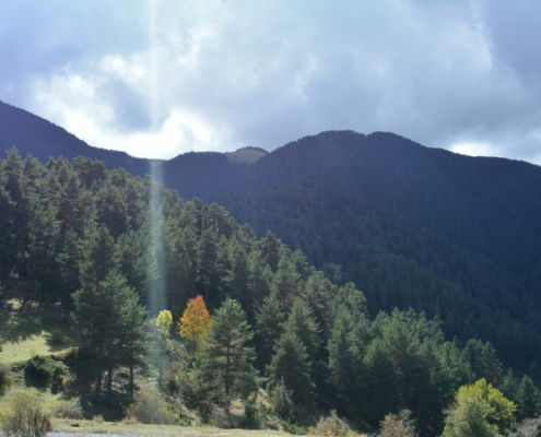
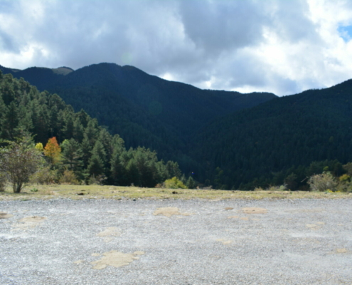
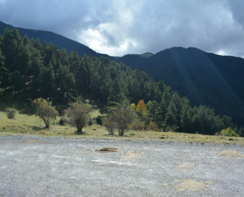
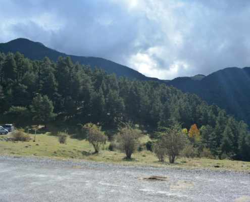
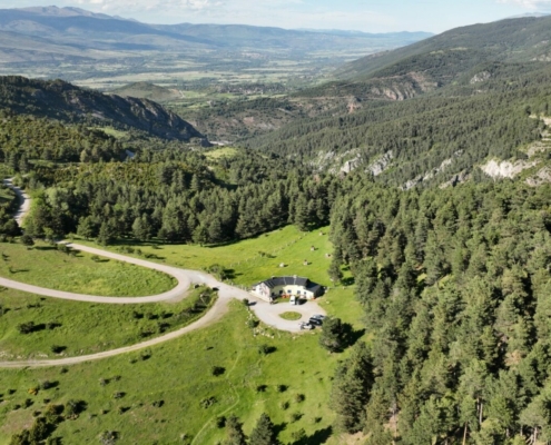
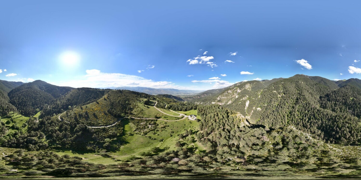
From this main access to Moixeró, you’ll get great views. To the south, you’ll see one of the most amazing fir tree forests in the Cadí-Moixeró Nature Reserve, extending to the upper reaches of the Serra de Moixeró mountain range and where a trail takes you to see some spectacular specimens.
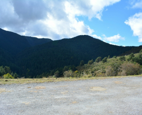
At the top, meadows and the summit of Moixeró await you. In the warmer months, you’ll find large herds of cows and horses and also some of the area’s ungulates.
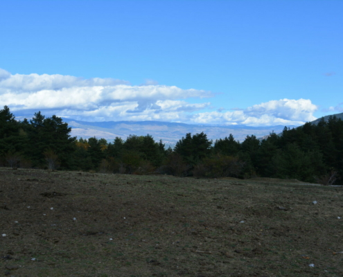
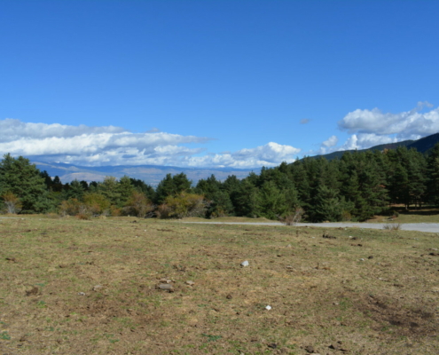
If you look north, you’ll see the section of the Cerdanya valley floor that surrounds Puigcerdà and Font-Romeu and, in the background, Carlit Massif.


