Mirador de Roques Feres
Municipality: Guils de Cerdanya
Coordinates: 42.45556, 1.83884
Elevation: 1.945 m
Mobile coverage: Yes
How to get there: At the base of the Guils Fontanera cross-country ski resort, there’s a forest track that brings you less than a kilometer to these rocks that provide an amazing viewpoint. In winter, access through the track is closed and must be done from the ski resort by snowshoeing or skiing.
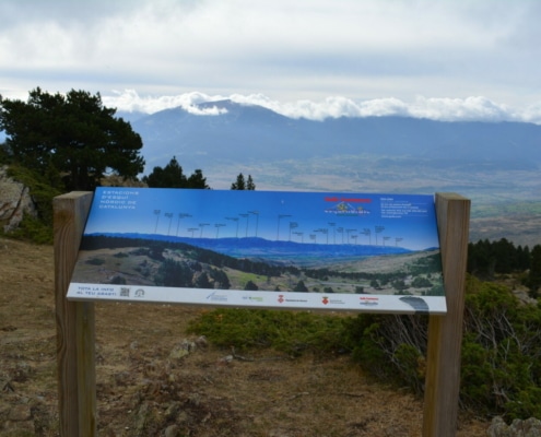
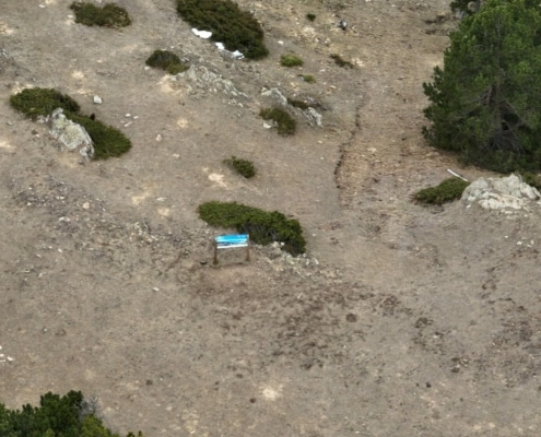
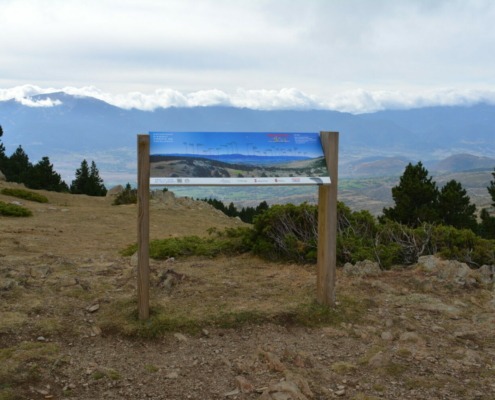
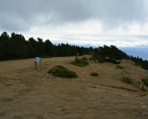
Available facilities: There, right in the middle of the grazing area, you’ll find an interpretation board.
Accessibility for people with reduced mobility: No. It’s in the middle of a grazing and rocky area.
What to see:
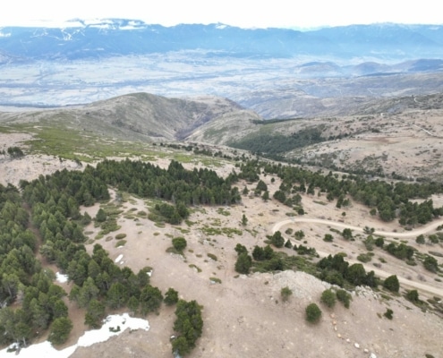
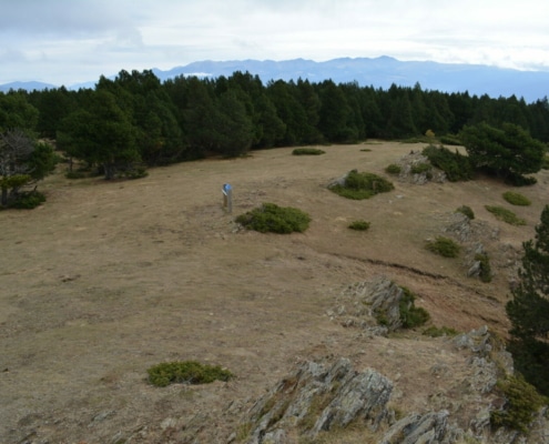
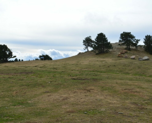
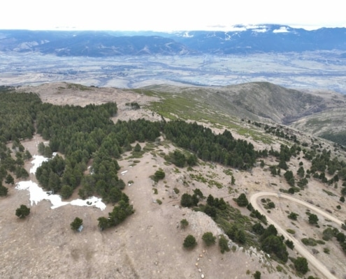
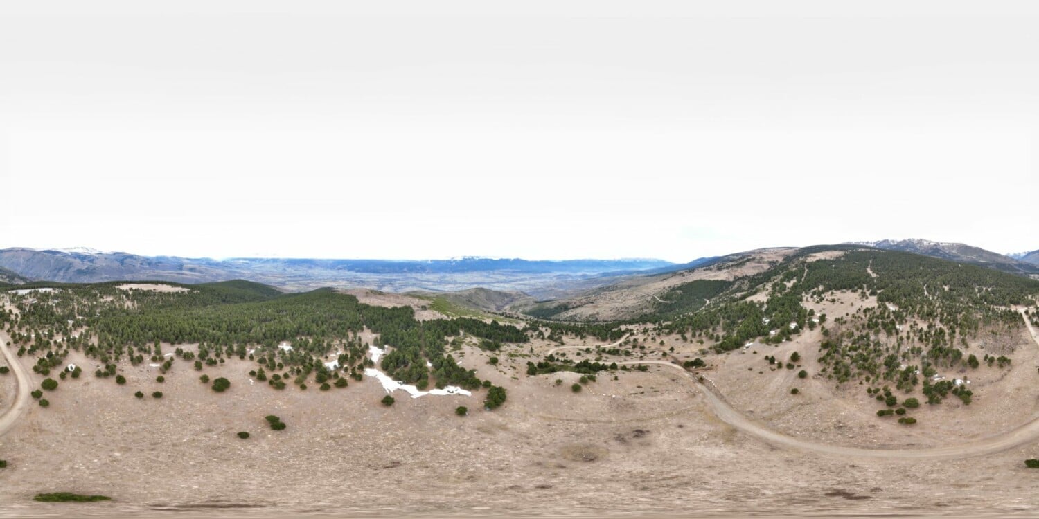
An outcrop of large rocks—jutting out amidst the alpine meadows and interspersed with some mountain pines—tower above this area.
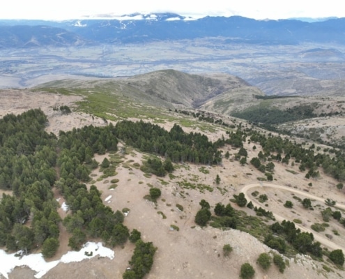
You’ll get 360-degree panoramic views of the entire Cerdanya Valley, starting from the Serra del Cadí mountain range to the south, including Moixeró, La Tosa, Collada de Toses, Puigmal and Carlit Massif.


