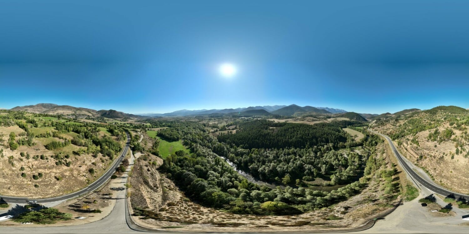
Mirador de Prullans
Municipality: Prullans
Coordinates: 42.36867, 1.73030
Elevation: 1.009 m
Mobile coverage: Yes
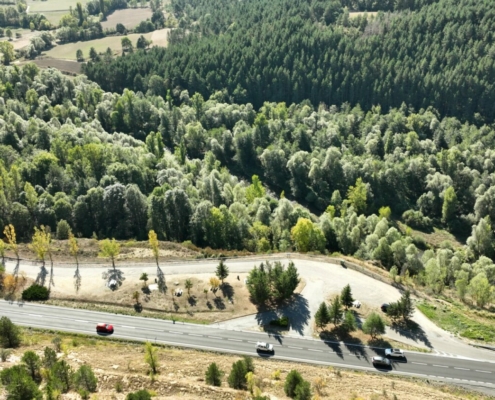
How to get there: Direct access from the N-260 towards Puigcerdà.
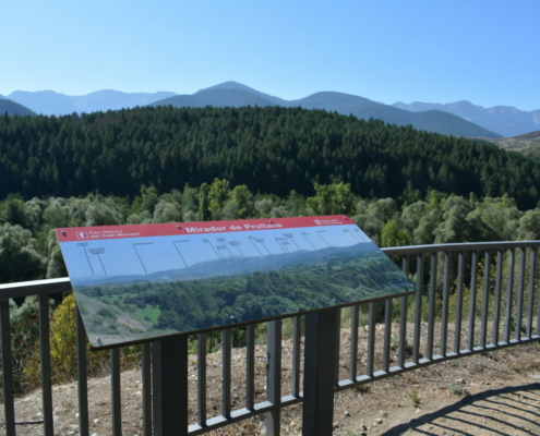
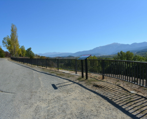
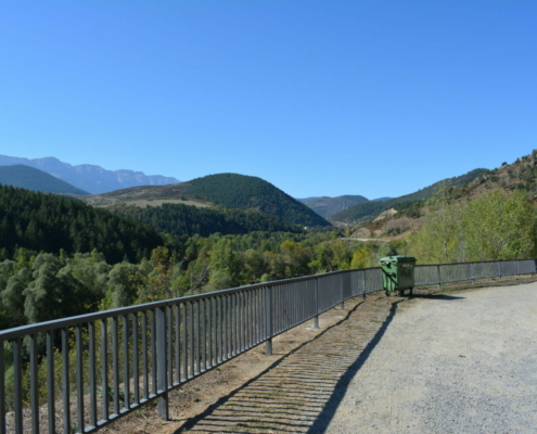
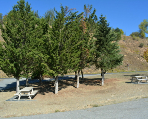
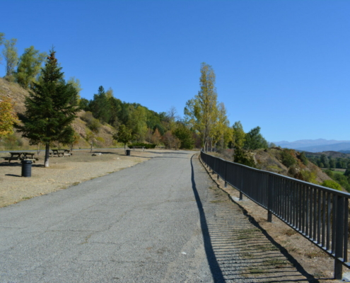
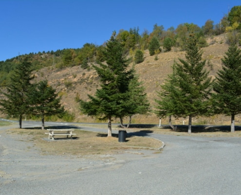
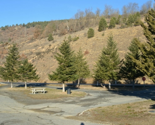
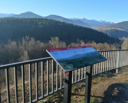
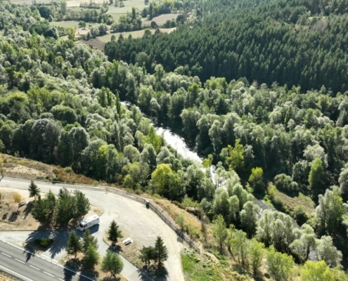
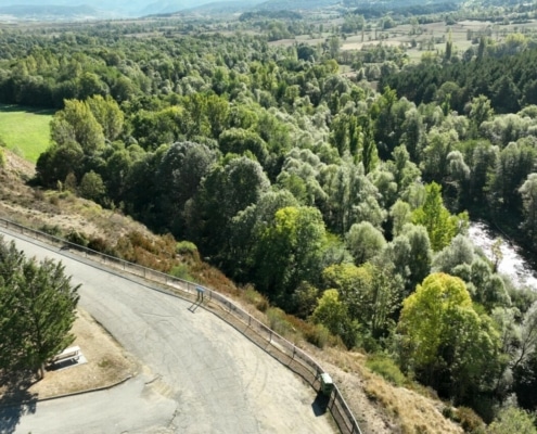
Available facilities: It has a picnic area with four tables and garbage cans. Railing of the viewpoint. Interpretation board in the Cadí-Moixeró Nature Reserve facing south.
Accessibility for people with reduced mobility: The space is accessible, although the ground is not quite in perfect condition. The interpretation board is accessible.
The picnic tables are also accessible.
What to see:
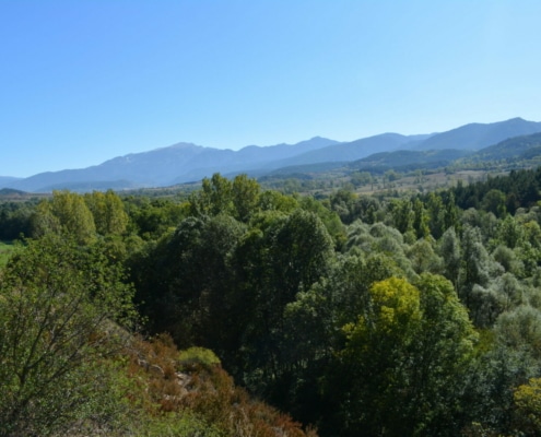
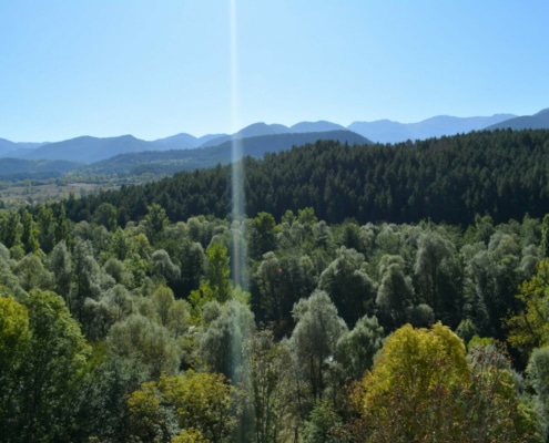
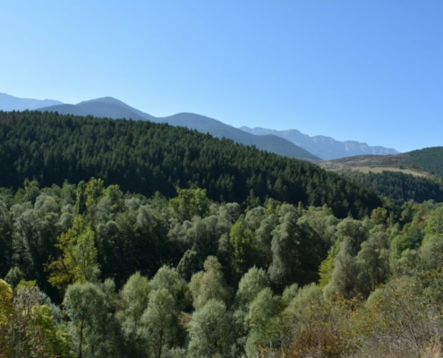
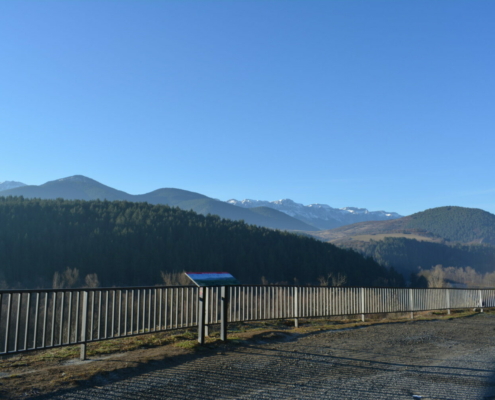
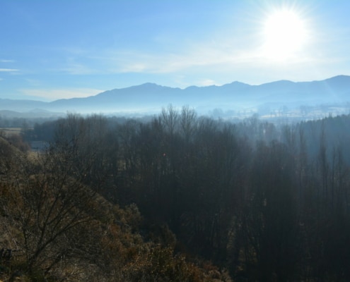
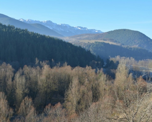
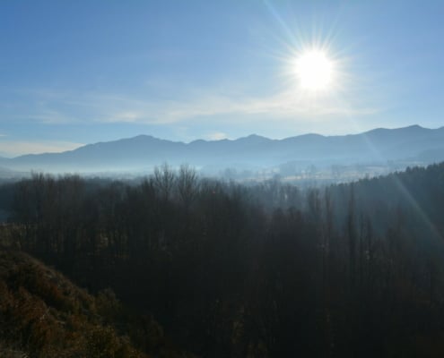
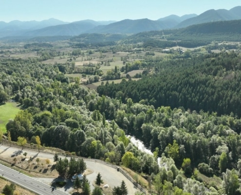
You’ll get wonderful panoramic views to the south towards the Moixeró sector and the eastern end of the Serra del Cadí mountain range.
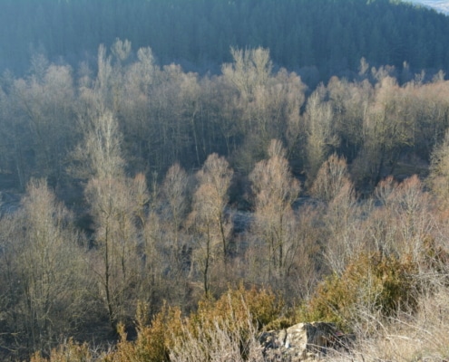
In the foreground, you’ll find the Segre River in Riberola—a protected area known as the Segre-Prullans Partial Nature Reserve, which boasts a dense riverside forest, which is extremely interesting to observe, particularly in autumn.
Beyond, you’ll see the meadows surrounding the hamlet of Santa Eugenia and, to the south, the summits of Moixeró and the Serra del Cadí mountain range.


