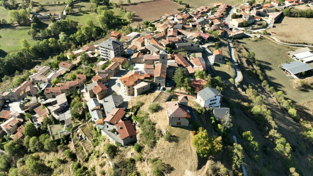
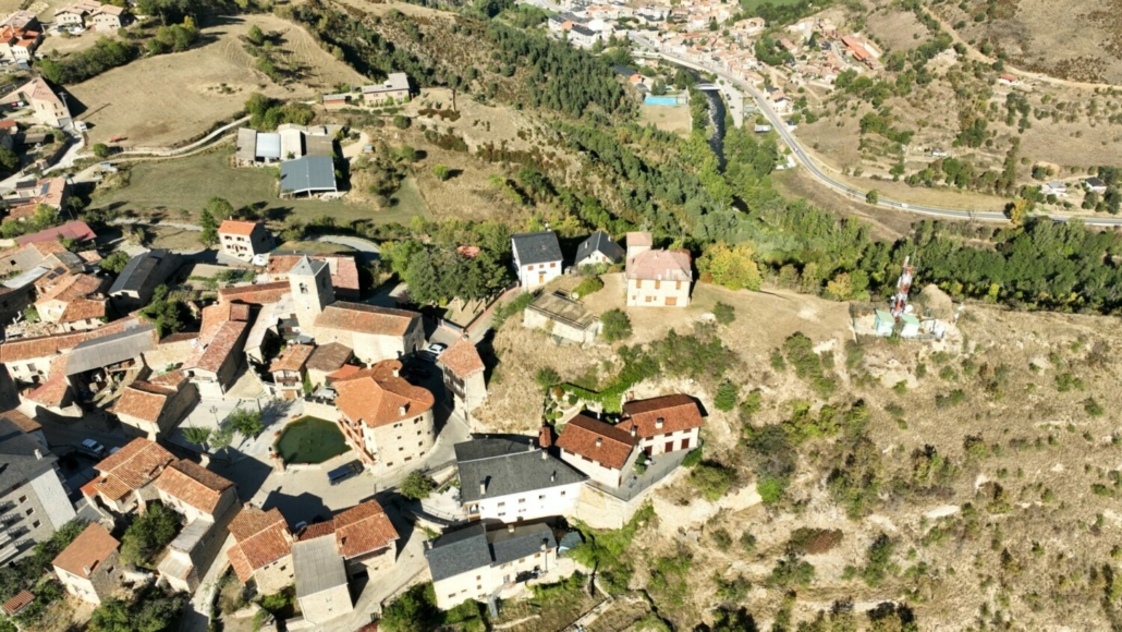
Mirador de Montellà
Municipality: Montellà-Martinet
Coordinates: 42.35567, 1.70535
Elevation: 1.166 m
Mobile coverage: Yes
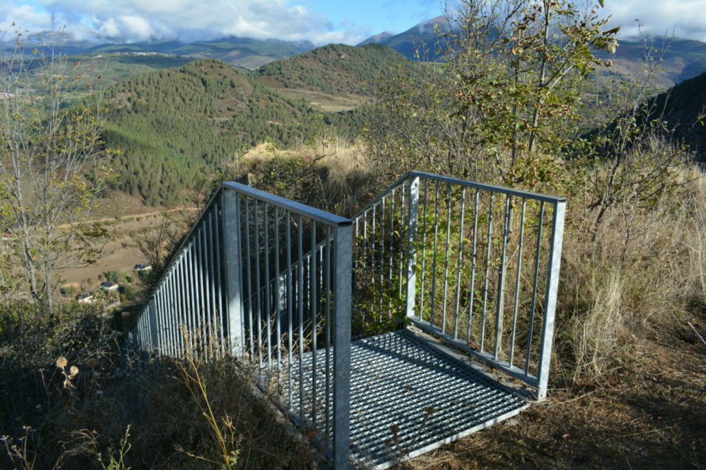
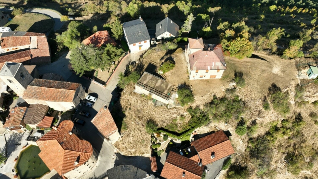
How to get there: Once at Sant Sadurní Church, head north down the street until you get to a street where you’ll find buildings to your right and fields to your left. Continue along this street, until you find some metal stairs that will lead to the antennas. You’ll find the viewpoint close by.
Available facilities: There are no facilities.
Accessibility for people with reduced mobility: It’s not accessible. There are many stairs.
What to see:
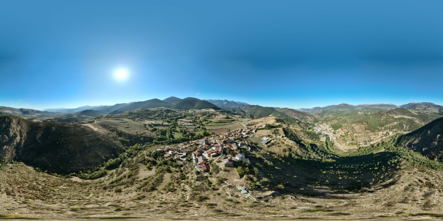
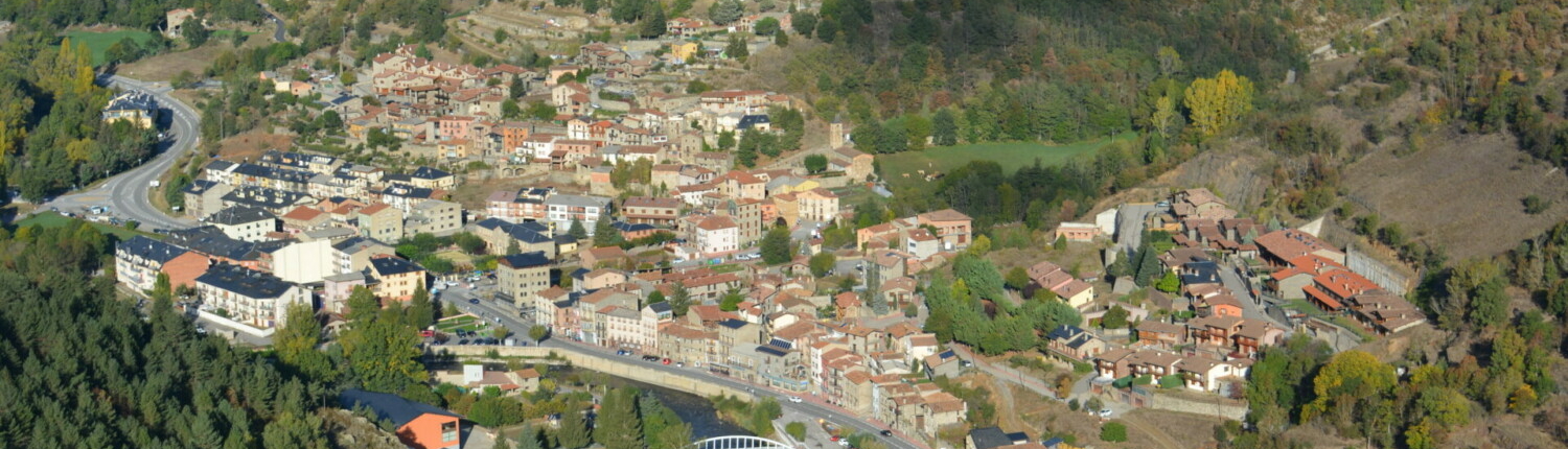
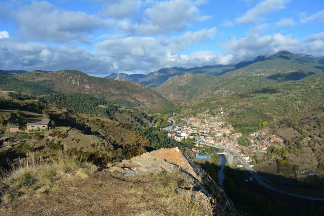
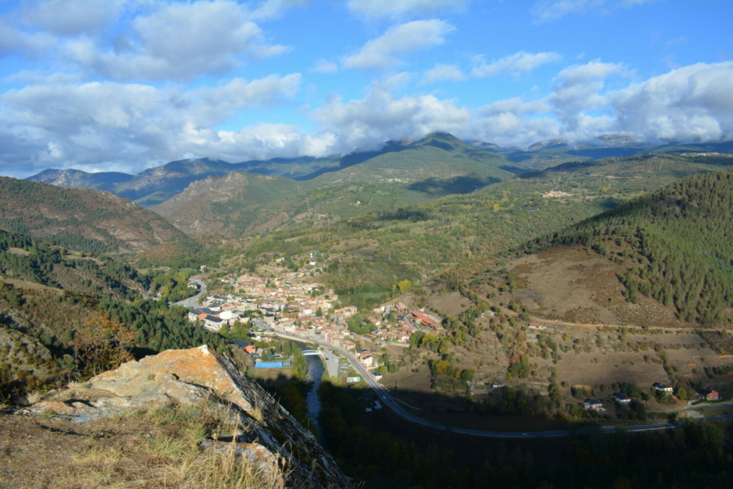
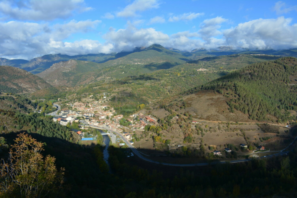
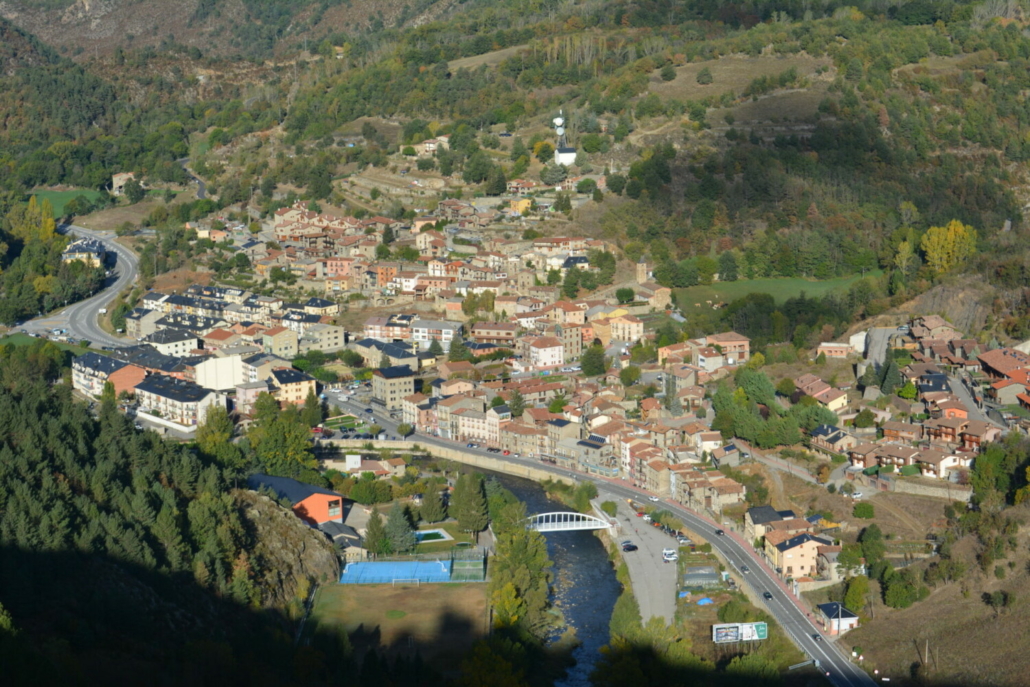
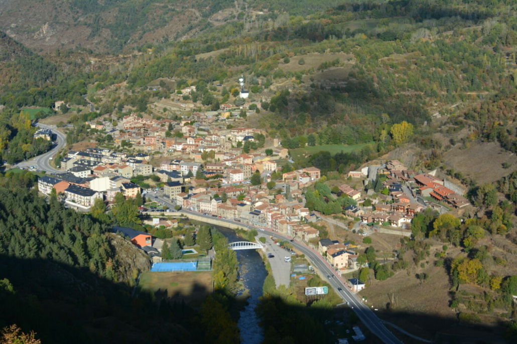
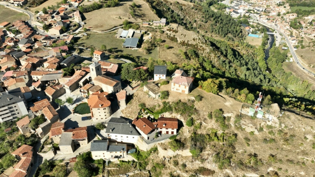
Montellà sits up high to the south above some extensive and fairly flat pasturelands. But its northern boundary is completely different, as it overlooks Segre Valley, giving you amazing views of the Segre and Llosa Valley, with the village of Martinet found in the middle of the valley.
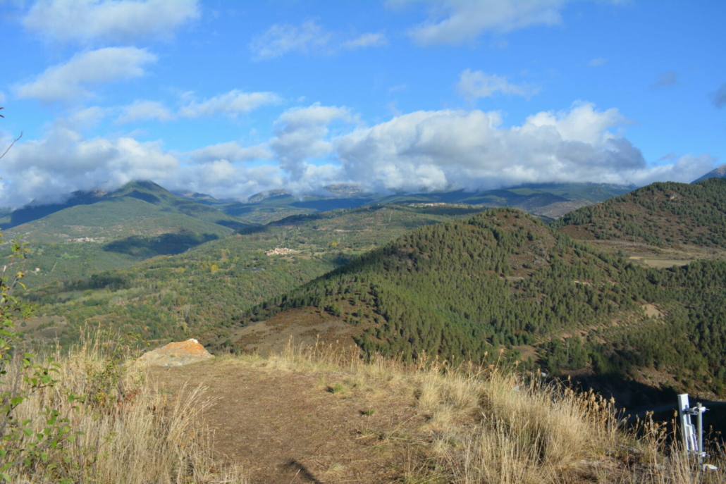
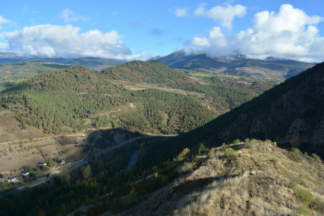
To the north, you’ll get sweeping panoramic views of the summits of Monturull, Perafita, Bobinar, Tossa Plana de Lles and a good chunk of Llosa Valley. Between the valley and the summits, you’ll catch a glimpse of the villages of Travesseres, Músser and Lles de Cerdanya amidst wooded and grazing areas. If you turn around and look south, you’ll see the Serra del Cadí mountain range looming over Bastanist River Valley.
Panorama