Mirador de Meranges
Municipality: Meranges
Coordinates: 42.43755, 1.78493
Elevation: 1.715 m
Mobile coverage: Yes
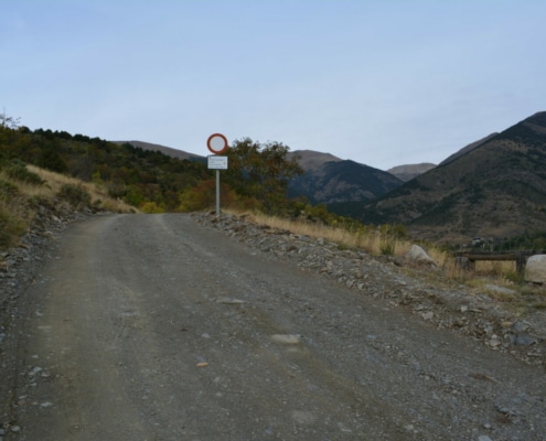
How to get there: Track that connects the villages of Éller and Meranges, suitable for 4×4 vehicles, by bike or on foot.
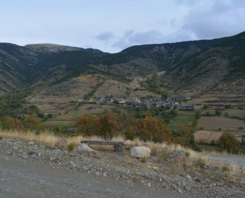
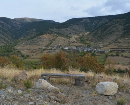
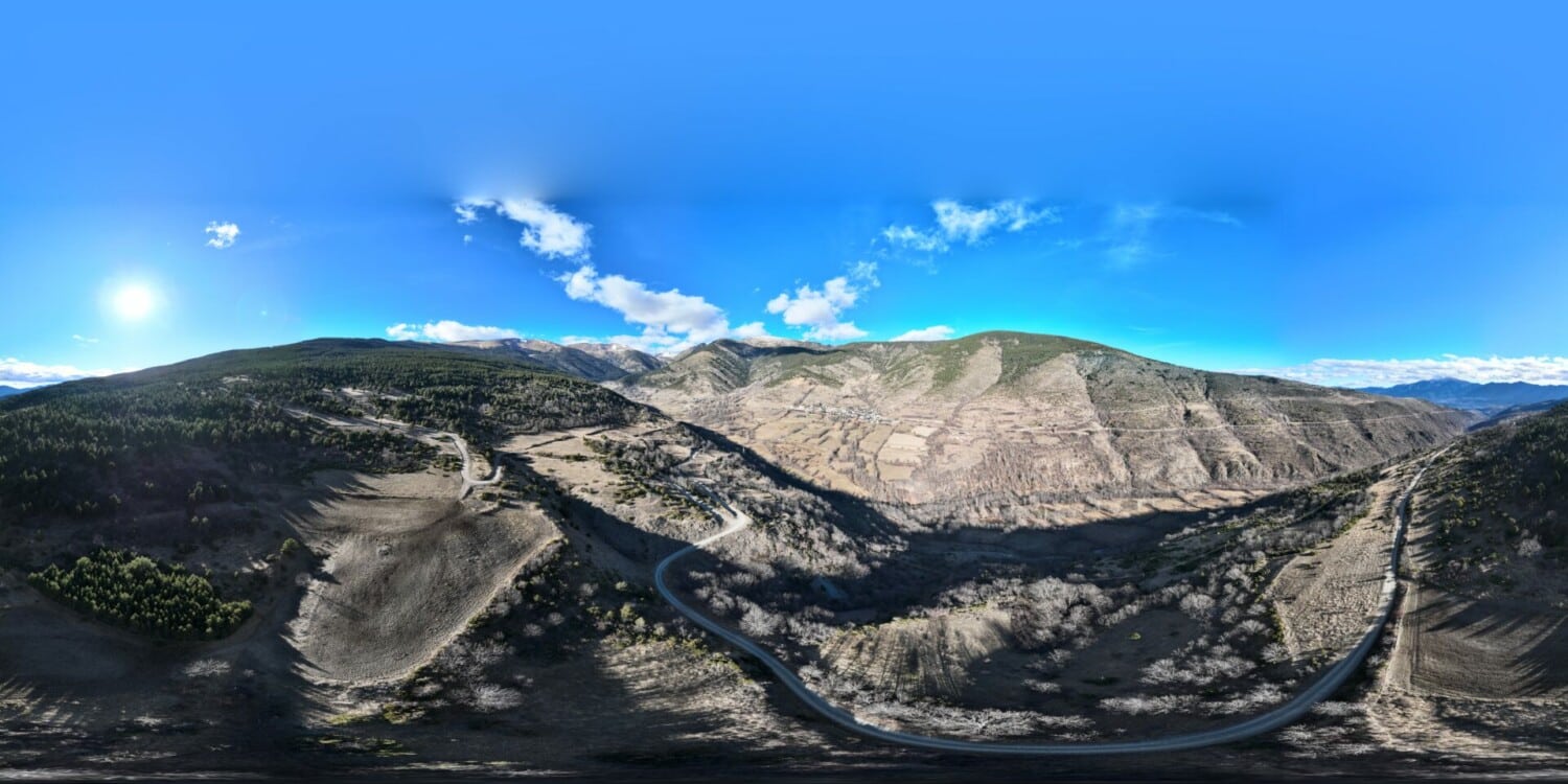
Available facilities: You’ll find yourself at a crossroads of vegetation in the middle of the slope of Meranges Valley, in an open, vegetation-free area that affords great views.
It only has a wooden bench, with no facilities expected of a viewpoint as such.
Accessibility for people with reduced mobility: It’s not accessible, as it has no facilities.
What to see:
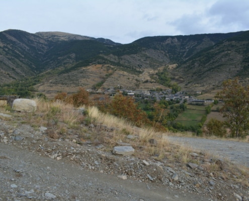
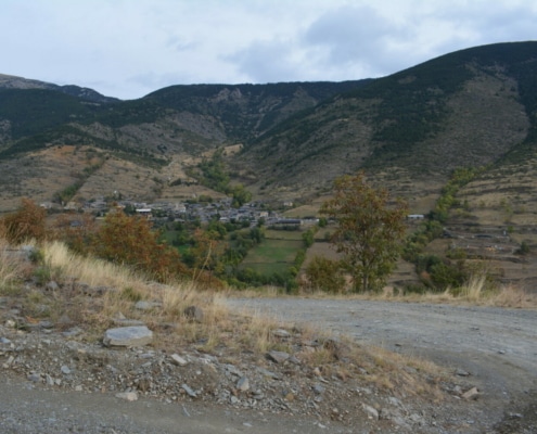
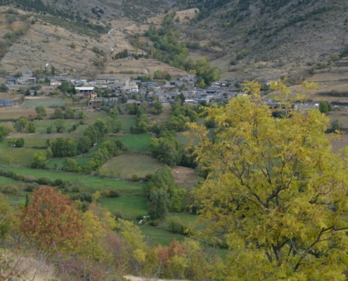
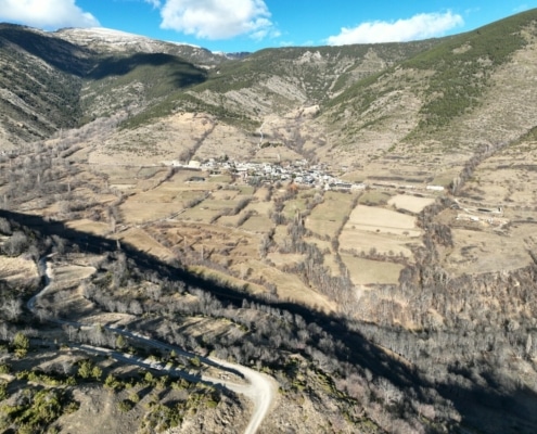
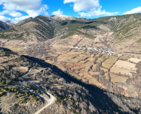
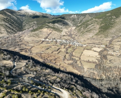
Breathtaking views of Meranges Valley, with its characteristic glacial valley terrain, where the Duran River collects the streams running down the mountains.
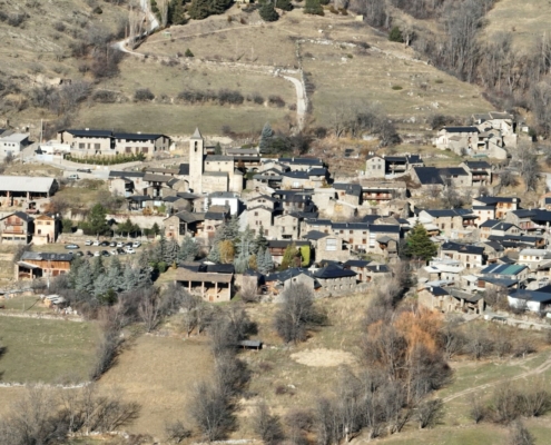
In the middle of the valley, you’ll find the village of Meranges, surrounded by grazing areas and different specimens of deciduous trees.
At the top of the valley, pine forests—mainly mountain pine—predominate, and its upper reaches are covered by alpine meadow areas.
To the south, you’ll enjoy great views of the lower sector of the valley with Tosa d’Alp looming in the background.


