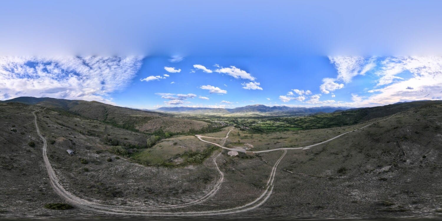
Mirador de Ger
Municipality: Ger
Coordinates: 42.41566, 1.83895
Elevation: 1.251 m
Mobile coverage: Yes
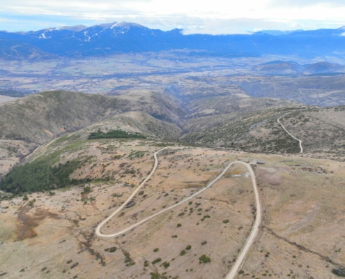
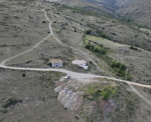
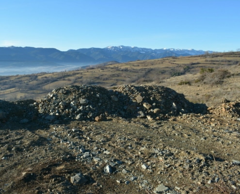
How to get there: Track that connects the village of Ger with its water reservoir.
Available facilities: There are no facilities, as it’s right next to the track beside the water reservoir.
Accessibility for people with reduced mobility: No
What to see:
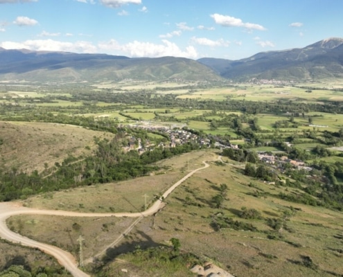
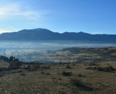
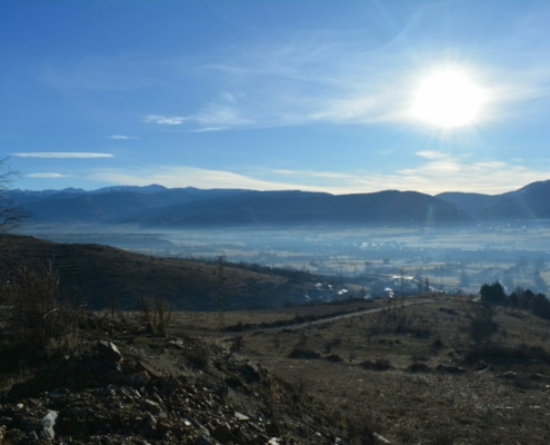
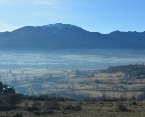
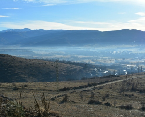
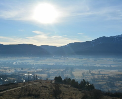
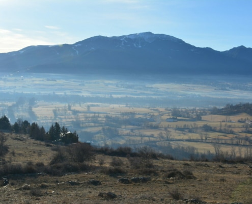
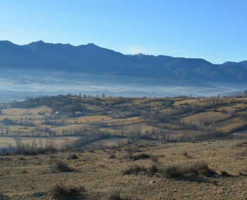
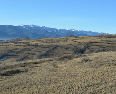
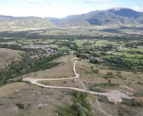
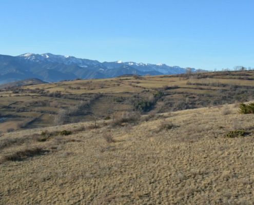
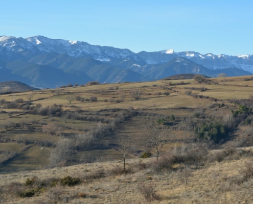
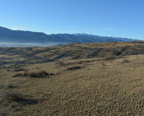
The space offers you fantastic views from the sunny slope of Cerdanya to the south, with Ger below you, the meadows covering the valley floor around the Segre River. Beyond, the Serra de Moixeró mountain range towers proudly, Tosa Massif to the left and the Serra del Cadí mountain range on the other side.


