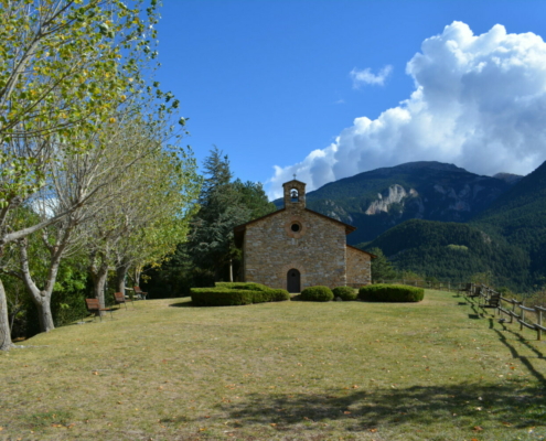
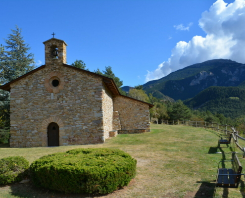
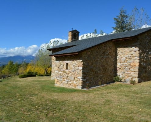
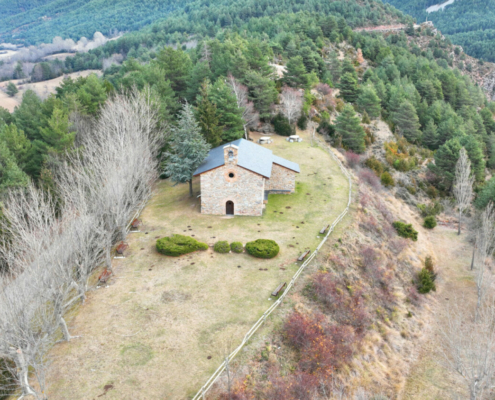
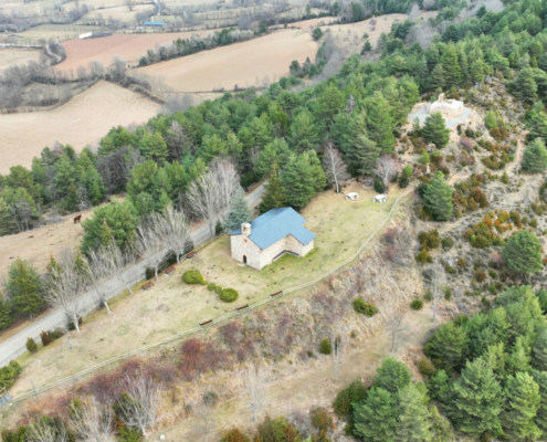
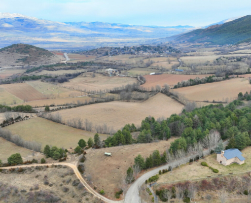
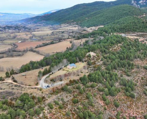
Ermita de Sant Grau
Municipality: Alp
Coordinates: 42.34170, 1.84153
Elevation: 1.325 m
Mobile coverage: Yes
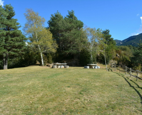
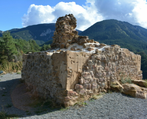
How to get there: There’s a parking lot at the foot of the shrine, which you can reach after walking some steps leading to the meadow surrounding the building.
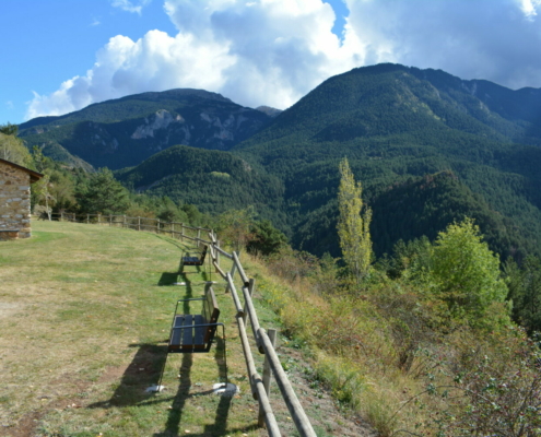
Available facilities: The shrine’s meadow is enclosed by wooden railings. You’ll also find picnic tables and a fountain (currently with no water).
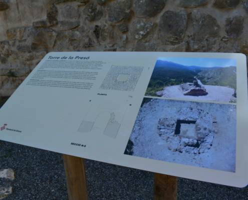
There are no interpretation boards.
Accessibility for people with reduced mobility: No. Access is via stairs.
What to see:
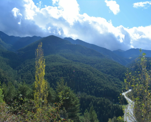
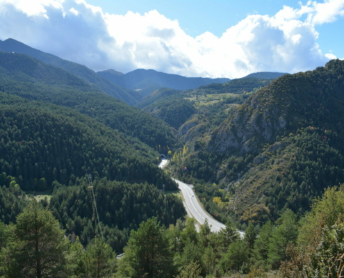
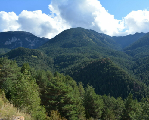
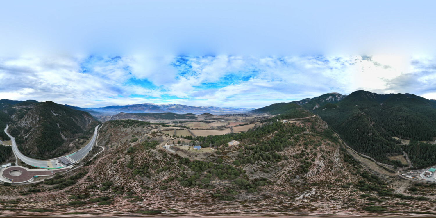
At the confluence of Torrent de la Fou Valley with the Cerdanya valley floor, you’ll find this panoramic viewing area, enclosed by railings looking south. It affords stunning views of Moixeró, covered by a dense coniferous forest of Scots pine, fir and mountain pine, as well as a startling perspective of the northern entrance to Cadí Tunnel, a strategic road tunnel for thousands of people heading to Berguedà and the province of Barcelona.
The views to the north are limited by the terrain.


