Coll de la Creu del Barret
EMD: Pi
Coordinates: 42.31807, 1.76408
Elevation: 1.568 m
Mobile coverage: Yes
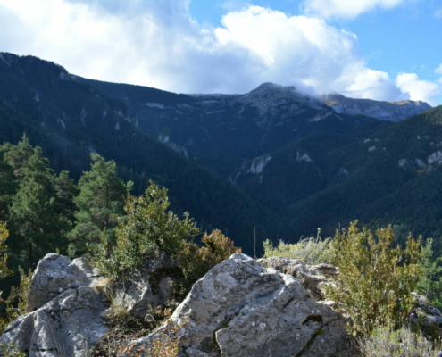
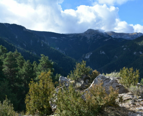
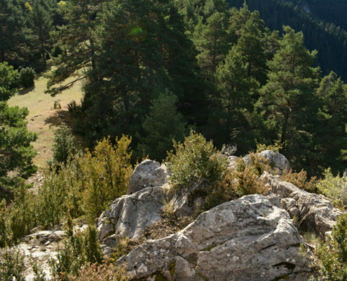
How to get there: Access is via a steep mountain trail. Starting from Santa Magdalena, it’s a steep climb south to the Serra de l’Artic mountain range, up to Coll de Jovell. From there, a 1.5-hour hike along a flatter path will take you to Coll de la Creu del Barret, where you’ll find some rocks from which to enjoy the views to the north.
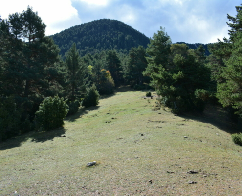
Available facilities: It’s a mountain pass, with a bit of grazing land amidst the Scots pine forest.
Accessibility for people with reduced mobility: There are no facilities, and neither is it accessible.
What to see:
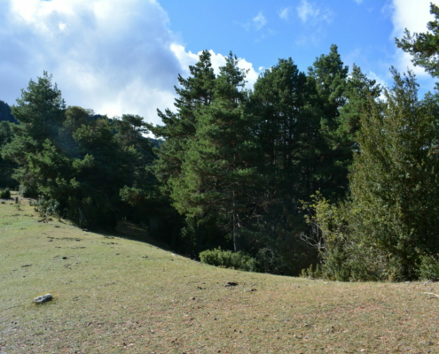
The landscape is dominated by the Scots pine forests, interspersed with some specimens of fir. Right in the area, this pass leads to a forest clearing where you’ll find some animals grazing in the summer.
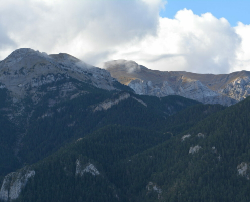
To the south, you can get a great view of Pi Valley, the Tancalaporta sector, the junction point of the Serra de Moixeró mountain range with the Serra del Cadí mountain range and the summit of Comabona—the easternmost summit of the Serra del Cadí mountain range with an elevation of 2,548 m.
Amidst the pines, to the east, you’ll catch a glimpse of Tosa d’Alp.
The view to the north is limited.


