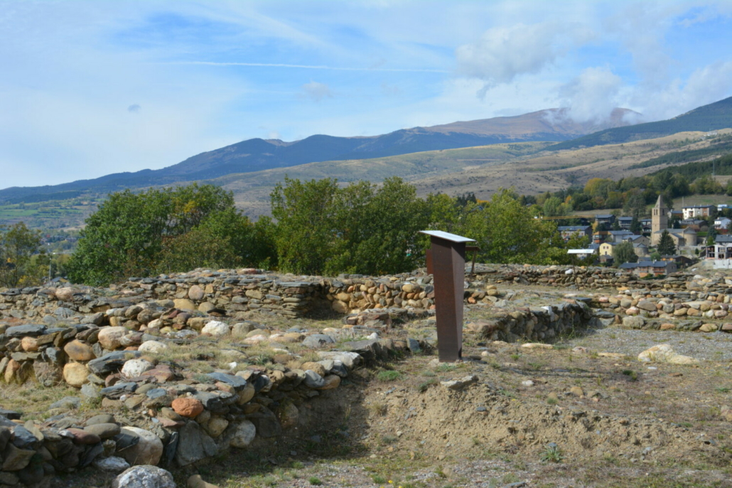
Castellot de Bolvir
Municipality: Bolvir
Coordinates: 42.41254, 1.88452
Elevation: 1.133 m
Mobile coverage: Sí
How to get there: You’ll find yourself in the Castellot museum complex.
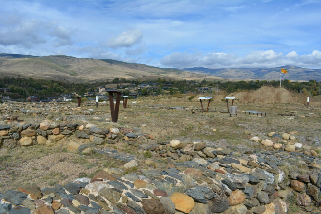
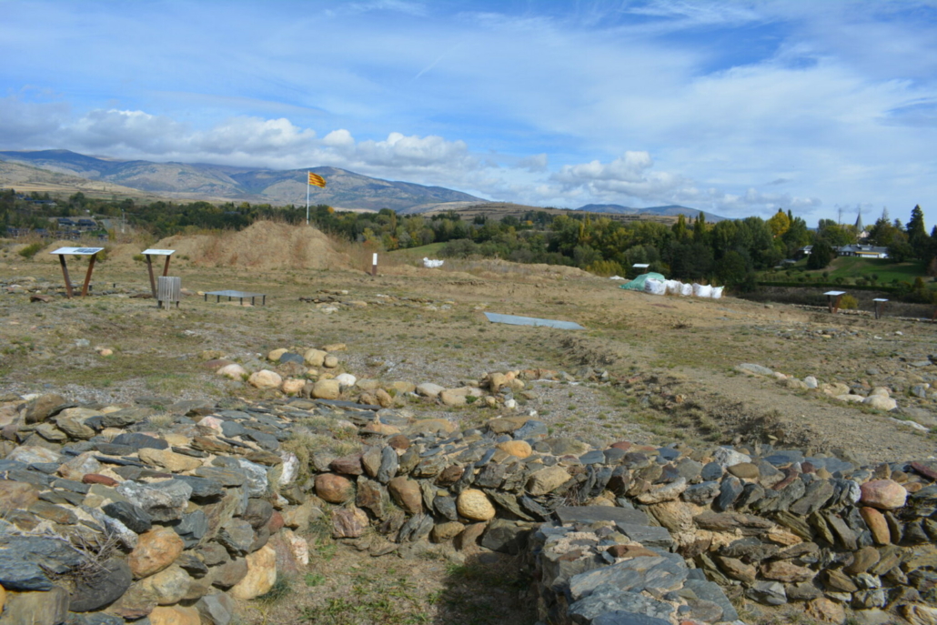
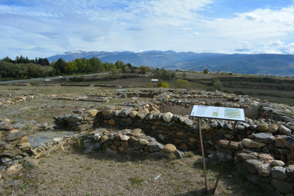
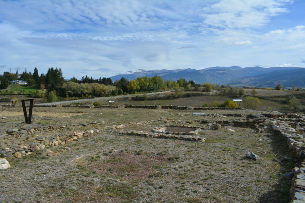
Available facilities: Interpretive trail of the site, with several interpretation boards. No interpretation of the landscape is provided.
Accessibility for people with reduced mobility: Yes, the path is accessible.
What to see:
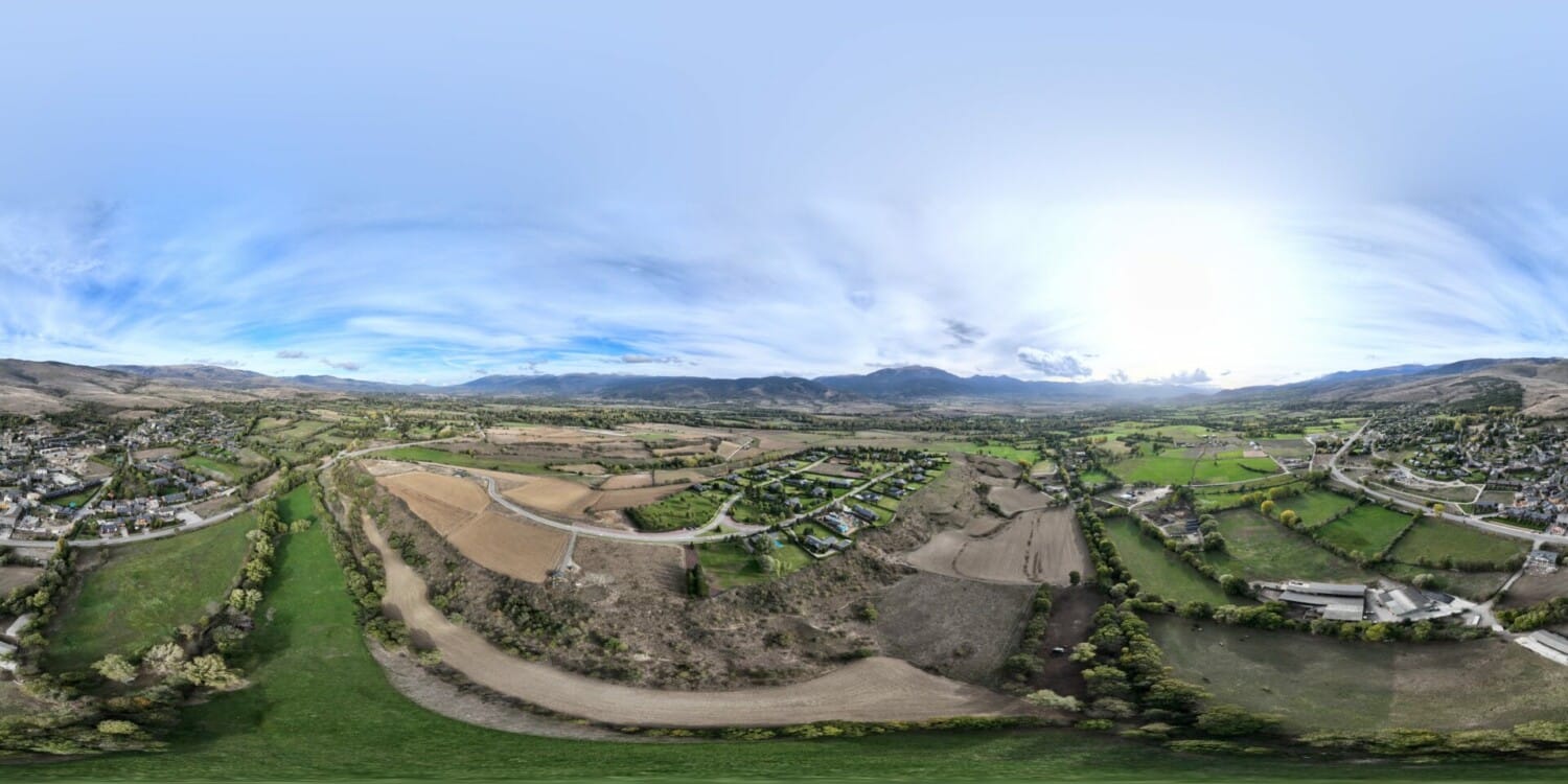
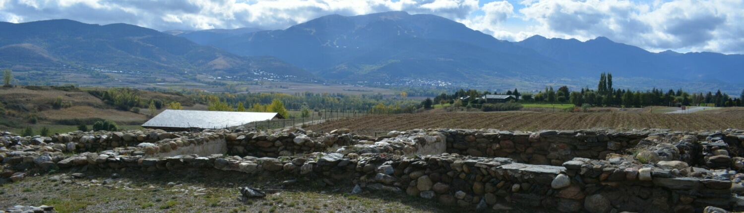
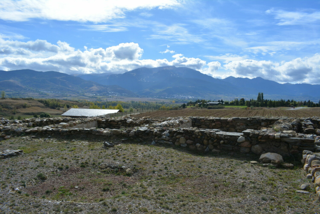
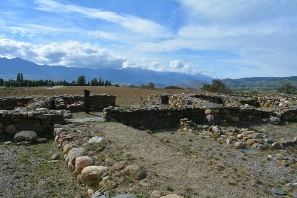
You’ll find a hill where this castle is located in the middle of the Cerdanya valley floor. It’s one of the few Iberian settlements located in the Pyrenees and the most important one found in Cerdanya so far. It was first occupied in the 4th century BC. The settlement was the site of different activities, such as livestock farming of large herbivores, agriculture, weaving and metalworking.
Today, a museum is home to this treasure, which also provides sweeping panoramic views in all directions. You can see the entire Cerdanya Valley and the massifs of La Tosa, Puigmal, Carlit and Puigpedrós.
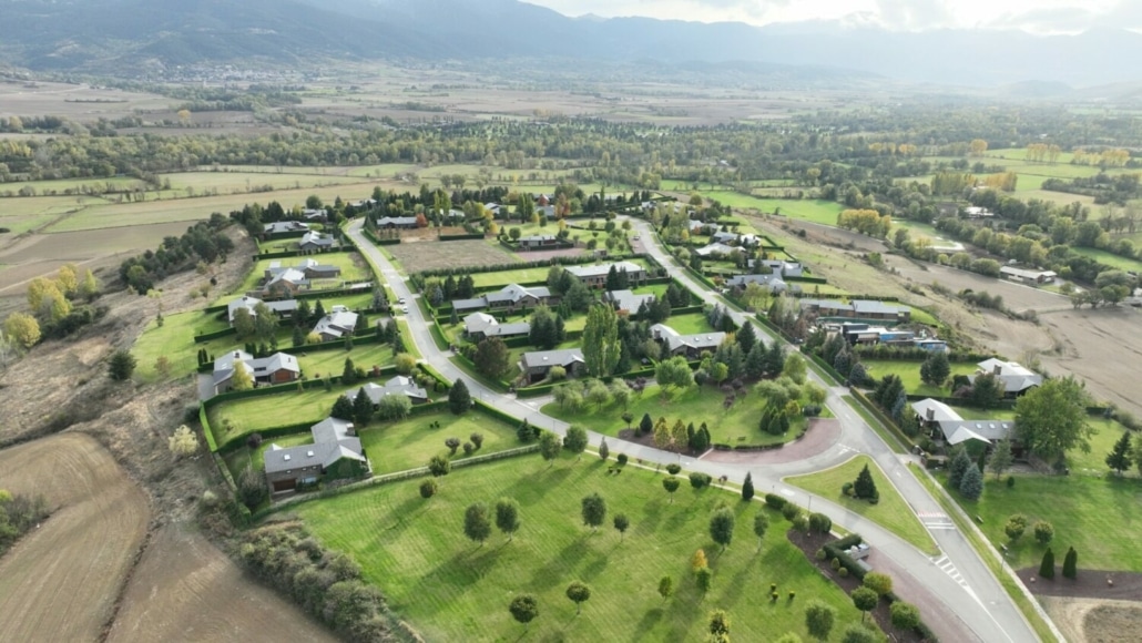
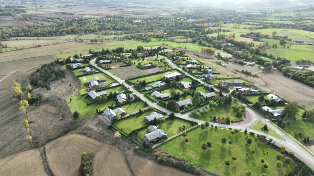
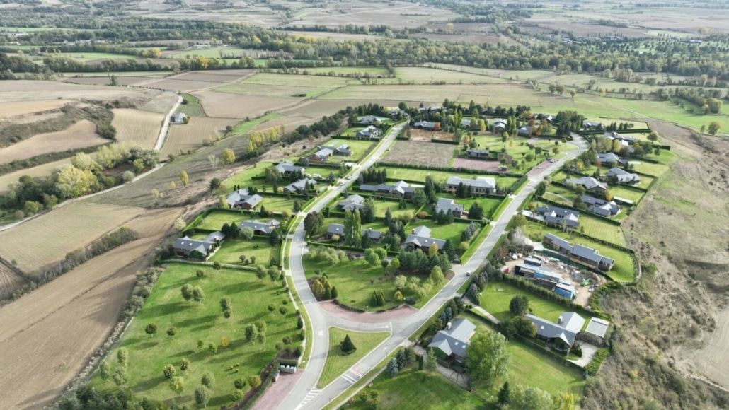
Panorama