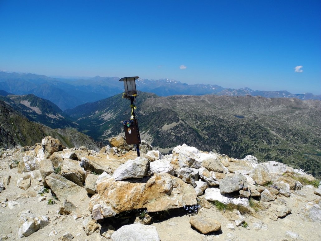
Tossa Plana de Lles
Voluminous, the peak Plana de Lles or peak of La Portelleta is the second highest in La Cerdanya. Its ascent is highly offset by the fantastic view from the summit.
Technical Data
Access: From Martinet take the LV-4036 road to Lles and then a paved track to the reception of the Cap del Rec Nordic ski resort.
Start: Cap del Rec refuge.
Difficulty: Medium
Maximum altitude: 2,916 m
Elevation gain: 950 m
Total duration: 4.30 h (2.30 h one way / 2 h return)
Time of year: Spring, summer and autumn.
Route
From the side of the Cap del Rec refuge (1,848 m) take path no. 18, also GR11, to the Pradell refuge. Once there we find the signpost of the path number 19 of Cerdanya trails, marked with yellow rectangles, which marks us in the direction of Tossa Plana de Lles. You immediately enter a black pine forest. Then comes a fairly steep slope until you leave the forest and reach the extensive plain of Les Someres (2,335 m, 35 min), with the remains of a hut.
It climbs a grassy ridge with black pines on the left to the foot of the wide southern slope of the mountain. The path is a bit blurry, but the rest of the ascent is obvious. Painting signs and numerous landmarks indicate the route. On the left, a path that should not be followed leads to the nearby “bassota de Setut”. The route gains altitude steadily to a first plateau, then increases significantly and attenuates at the top, at the beginning of the culminating granite stony plateau.
Without further obstacles you reach the summit of the peak of Plana de Lles (2,916 m, 2 h), an unbeatable viewpoint of the Cerdanya, Andorra and the Pyrenees to the west to beyond the Maladeta, specifically to the peak Mièidia de Bigorra. At midday the Cadí and the Baridà can be well seen and to the east the overview is extended to the Canigó.


