08. Molí de Ger

08. Molí de Ger

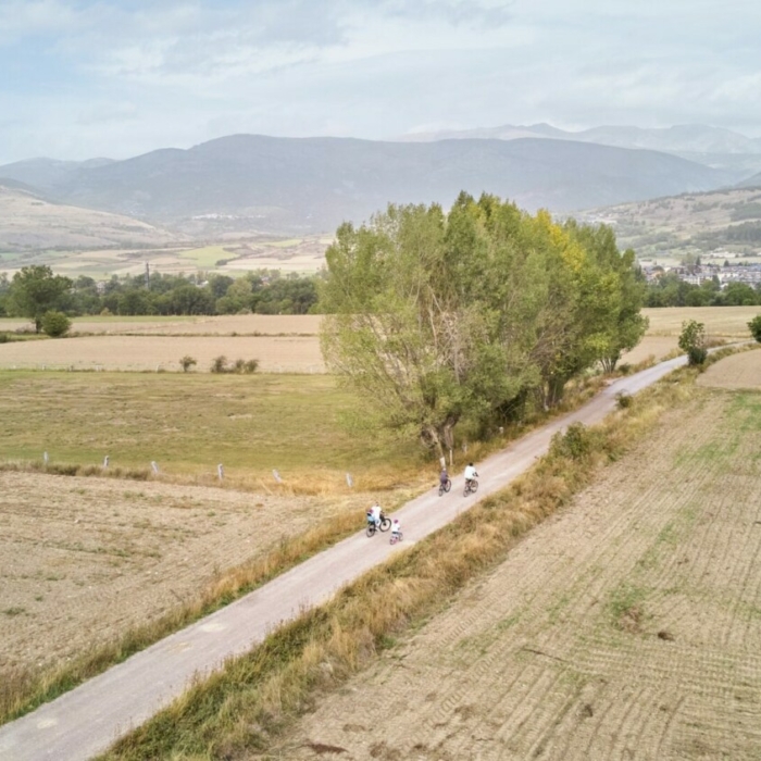
Soft and almost flat route around Ger between fields and meadows. This route runs largely along the Camí de Sant Jaume.


08. Molí de Ger

TECHNICAL SHEET


Difficulty: Very Easy

Difficulty E-bike: Very Easy

Departure point: Entrance of the town of Ger

Distance: 8,7 km

Incline: + 115 m

Estimated time: 1 h 15 min

Route type: circular

Tracking: sign posts and GPS

Type of land: 50 % path; 50 % asphalt

Map and altimetry


07. Pla de Forques

07. Pla de Forques

A difficult trail that brings us to the Pla de les Forques after a steep and long climb. Here you will have exceptional views of the Cerdanya valley and also of the southern corner of the Pyrenees.


07. Pla de les Forques

TECHNICAL SHEET


Difficulty: Very difficult

Difficulty E-bike: Difficult

Departure point: 4 Camins Park in Puigcerdà

Distance: 24,3 km

Incline: + 663 m

Estimated time: 3 h 15 min

Route type: circular

Tracking: track GPS

Type of land: 70 % path; 30 % asphalt

Map and altimetry


06. Puigcerdà – Guils – Torre de Remei

06. Puigcerdà – Guils – Torre de Remei

Tour through the Solana, with a constant climb, partly through French territory, until Guils de Cerdanya. There are great views before and after Guils de Cerdanya. Rapid descent to the Hermitage of Remei, to return, on asphalt, to the departure point in Puigcerdà.


06. Puigcerdà – Guils – Torre del Remei

TECHNICAL SHEET


Difficulty: Easy

Difficulty E-bike: Easy

Departure point: 4 Camins Park in Puigcerdà

Distance: 17,3 km

Incline: + 392 m

Estimated time: 2 h 30 min

Route type: circular

Tracking: sign posts and GPS

Type of land: 47 % path; 53 % asphalt

Map and altimetry


04. Camí dels enamorats

04. Camí dels enamorats

Ideal route for the little ones who are just starting to pedal for the first time. The “Passeig dels Enamorats” is a pretty ride along the banks of the Séquia de Puigcerdà which brings us to the Llac del Torniquet. The trail also goes through Rigolisa, a small village hidden in the town of Puigcerda.


04. Camí dels enamorats

TECHNICAL SHEET


Difficulty: Very Easy

Difficulty E-bike: Very Easy

Departure point: Plaça Dionís Puig, Puigcerdà

Distance: 3,8 km

Incline: + 7 m

Estimated time: 30 min

Route type: circular

Tracking: sign posts and GPS

Type of land: 48 % path; 52 % asphalt

Map and altimetry


01. Pla de Gorguja

01. Pla de Gorguja

A flat itinerary which mainly follows the old way from Llivia to Consellabre and the path from Llivia to Gorguja.


01. Pla de Gorguja

TECHNICAL SHEET


Difficulty: Very Easy, Easy, Difficult Very difficult

Difficulty E-bike: Very Easy

Departure point: Sant Guillem Park in Llívia

Distance: 4,1 km

Incline: + 43 m

Estimated time: 40 min

Route type: loop

Tracking: sign posts and GPS

Type of land: 50 % path; 50 % asphalt

Map and altimetry


Gravel Vall de Ridolaina

Gravel Vall de Ridolaina

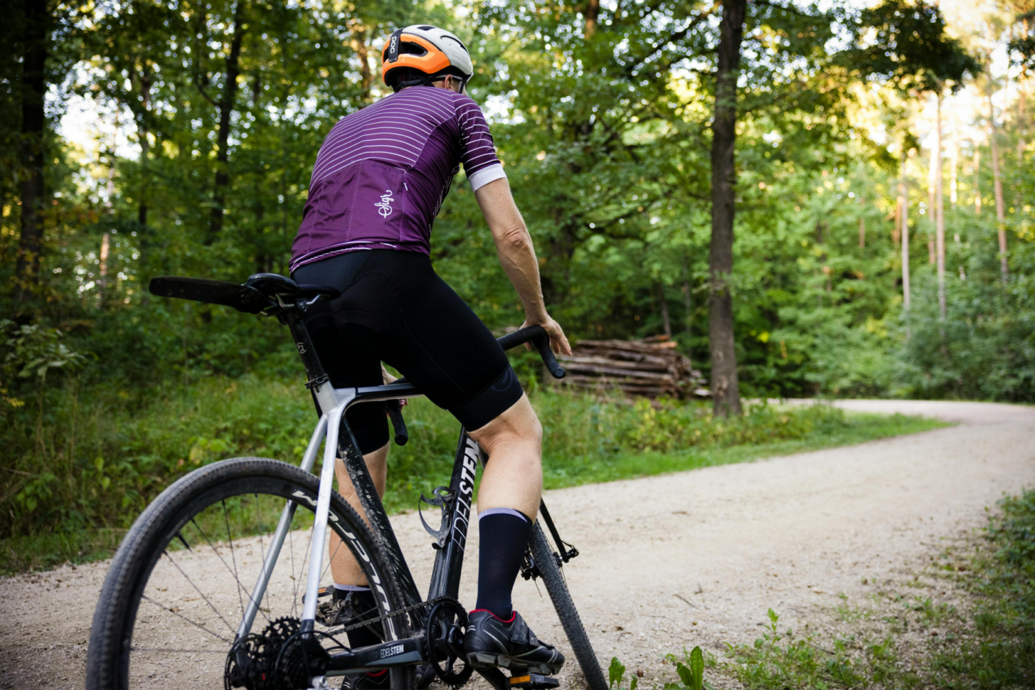
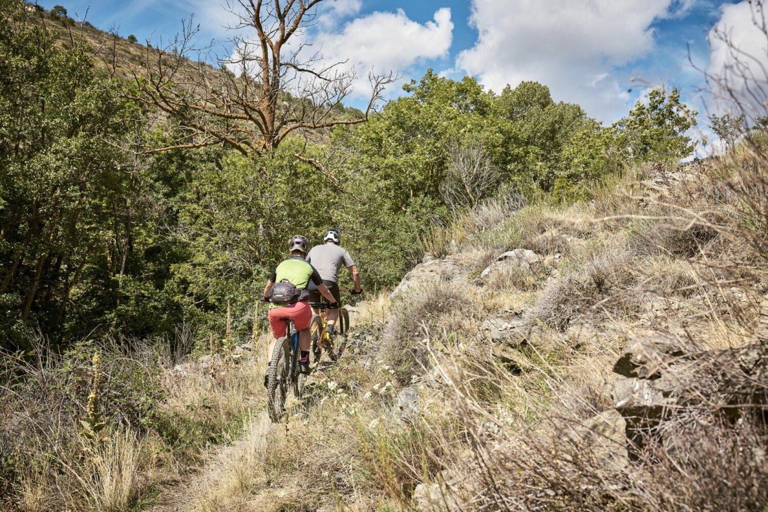
Venture into the surprising Gravel Vall de Ridolaina, a gravel bike route that will take you through some of the most picturesque corners of Cerdanya. Your journey begins in Talló, from where you’ll follow a track leading to Pi. This first stretch is perfect for warming up and enjoying the serene and charming landscape.

From Pi, the route continues along a charming path to Olià. From there, an exciting ascent begins, first on the road to Nas, and then on a track that winds through a dense forest, making its way to the magical Vall de Ridolaina. This climb is a challenge that rewards you with impressive views and an intimate connection with nature.

Once you reach the highest point, you’ll find a descent path closed to motor vehicles, offering you a unique and peaceful downhill experience. The descent route features a variety of terrains, from rockier tracks to grassy areas, adding fun and variety to your ride.

This spectacular descent will take you almost to Montellà. From there, you’ll follow a secondary road and tracks leading to Bellver de Cerdanya and finally back to Talló. This route is ideal for cyclists in good physical condition seeking an adventure full of contrasts, with challenging climbs and thrilling descents.

With your gravel bike, get ready to explore the Vall de Ridolaina and enjoy an unforgettable day in a natural environment of great beauty and tranquility.

And if you’re eager for more cycling, you can connect with the Gravel Ingla Riu route, which also starts in Talló. You can download the track here.


Gravel Vall de Ridolaina

Technical sheet


Departure point: Talló

Distance: 32,8 km

Estimated time: 3 h

Places of interest: Talló, Pi, Olià, Nas, Santa Eugènia i Bellver de Cerdanya.

Water points: Talló, Pi, Olià, Nas, Santa Eugènia i Bellver de Cerdanya.

Cyclicability: 100%

Difficulty: difficult

Map and GPS track

Gravel Ingla Riu

Gravel Ingla Riu

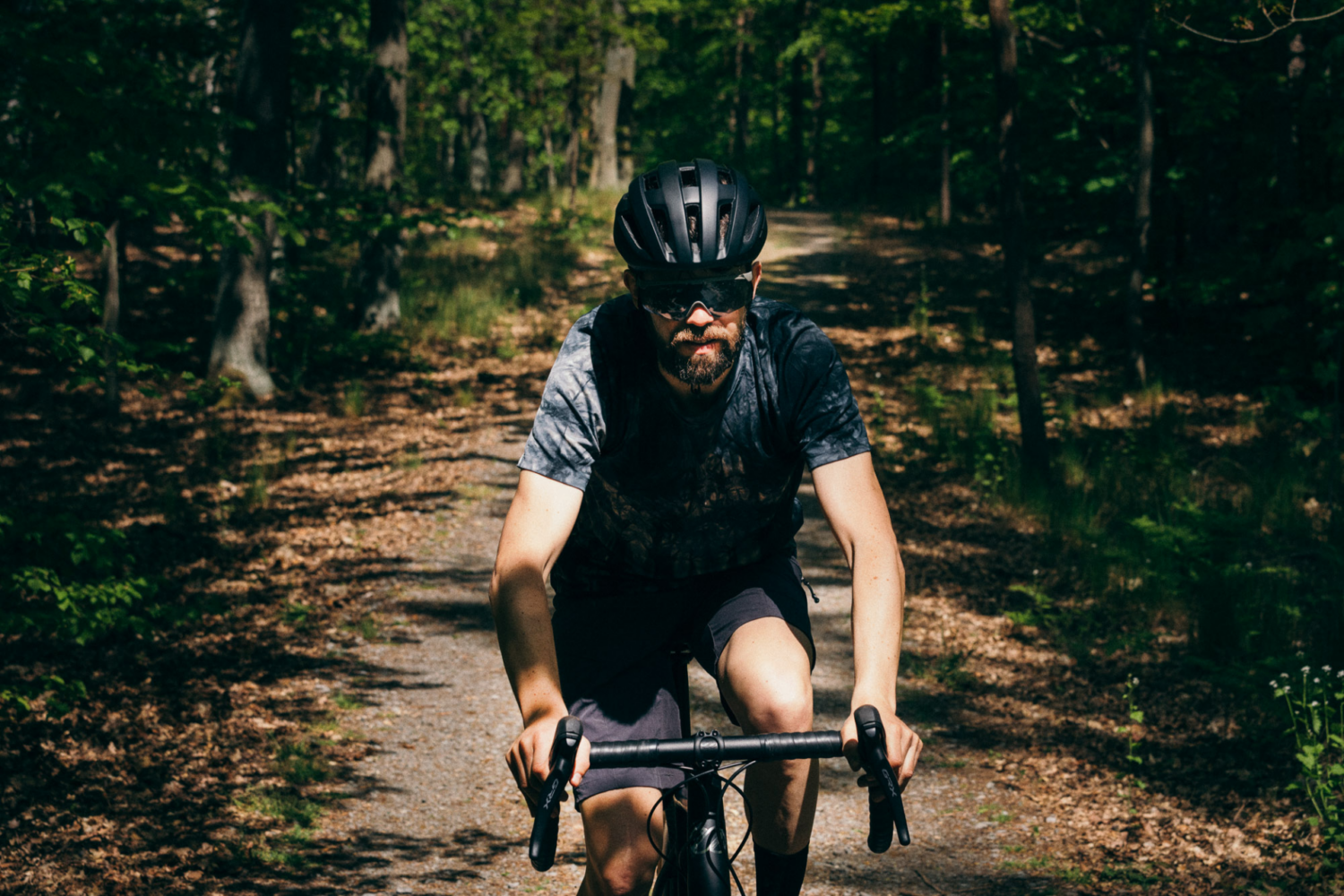
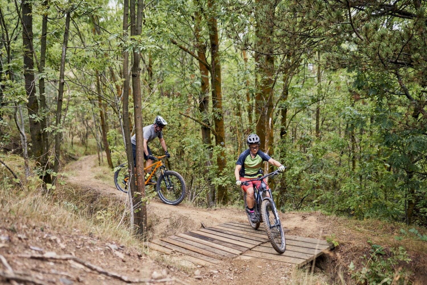
Discover the wild beauty of Cerdanya with this incredible gravel bike route. This route starts in Talló, a charming village with a rich cultural heritage. The route will take you to explore the magical Vall de l’Ingla, ascending to the Cortals de l’Ingla refuge, a must-stop to enjoy the tranquility and natural beauty of the area.

After reaching the summit, you will delight in an exciting descent to the Cap del Ras viewpoint, where you can enjoy spectacular views of La Batllia. Next, the route will lead you to the picturesque village of Riu de Cerdanya, passing by the Serrat de les Esposes refuge, another ideal spot to take a break and enjoy the landscape.

Your journey will continue towards Pedra and Beders, where you can admire their beautiful Romanesque churches, true architectural gems of the region. Finally, you will return to Talló following the Camino de Santiago, a unique experience that combines nature, culture, and adventure in a single route.

This route is ideal for cyclists with a good level of fitness who are looking for a rewarding challenge and unforgettable views. Equipped with your gravel bike, get ready to experience an exceptional adventure in one of the most beautiful places in Cerdanya.

And if you still have the desire to pedal more, you can connect with the Gravel Vall de Ridolaina route, which also starts in Talló. You can download the track here.

Gravel Ingla Riu

Technical sheet


Departure point: Talló

Distance: 30 km

Estimated time: 2 h

Places of interest: Talló, Vall de l’Ingla, Cap del Ras viewpoint, Riu de Cerdanya, Pedra and Beders churches.

Water points: Talló, l’Ingla, Riu de Cerdanya and Beders.

Cyclicability: 100%

Difficulty: moderate

Map and GPS track

Muntanya de Lles

Muntanya de Lles

Attention: this itinerary cannot be done during the winter season because the forest track between the Nordic ski resorts of Aransa and Lles is closed.

Route that alternates between well-paved secondary roads and wide forest tracks, with a steep inclination from Martinet to highest part on the mountain of Lles. At various points along the route, you will enjoy fantastic views of the Cadí massif.


Muntanya de Lles

Technical sheet


Departure point: Parking camí de Montellà a Martinet

Distance: 53 km

Estimated time: 3 h

Places of interest: Martinet, Músser, Arànser, Pollineres.

Water points: Martinet, Músser, Arànser, estacions d’esquí d’Aransa i Lles.

Cyclicability: 100%

Difficulty: moderate

Map and GPS track

Tour of La Solana with the gravel

Tour of La Solana with the gravel

Tour that mixes asphalt and tracks, in which you will enjoy your gravel bike to the fullest.

Attention: nn winter, you cannot do the route, because the Fontanera track in Meranges is closed since the Guils Fontanera Nordic ski station is located there.

From Puigcerdà we will go to the village of Guils, to climb up to Guils Fontanera. From there we will take the track that will take us to Meranges, passing by the Feixa shelter. Once in Meranges, we will take a slightly more technical track that will take us to Éller. From Éller, we will go down Cortàs until we find the N260 road, which we will follow shortly, since before Isòvol we will take the Camino de Santiago to return to Puigcerdà.


Rutes

Technical sheet


Point of start: Park of the 4 Camins de Puigcerdà

Distance: 58,4 km

Estimated time: 3 h

Places of interest: Guils de Cerdanya, Meranges, Éller.

Water points: Puigcerdà, Guils de Cerdanya, Guils Fontanera, Meranges, Éller.

Cyclicability: 100%

Difficulty: moderate

Map and GPS track

Talltendre

Bellver – Talltendre

Rutes


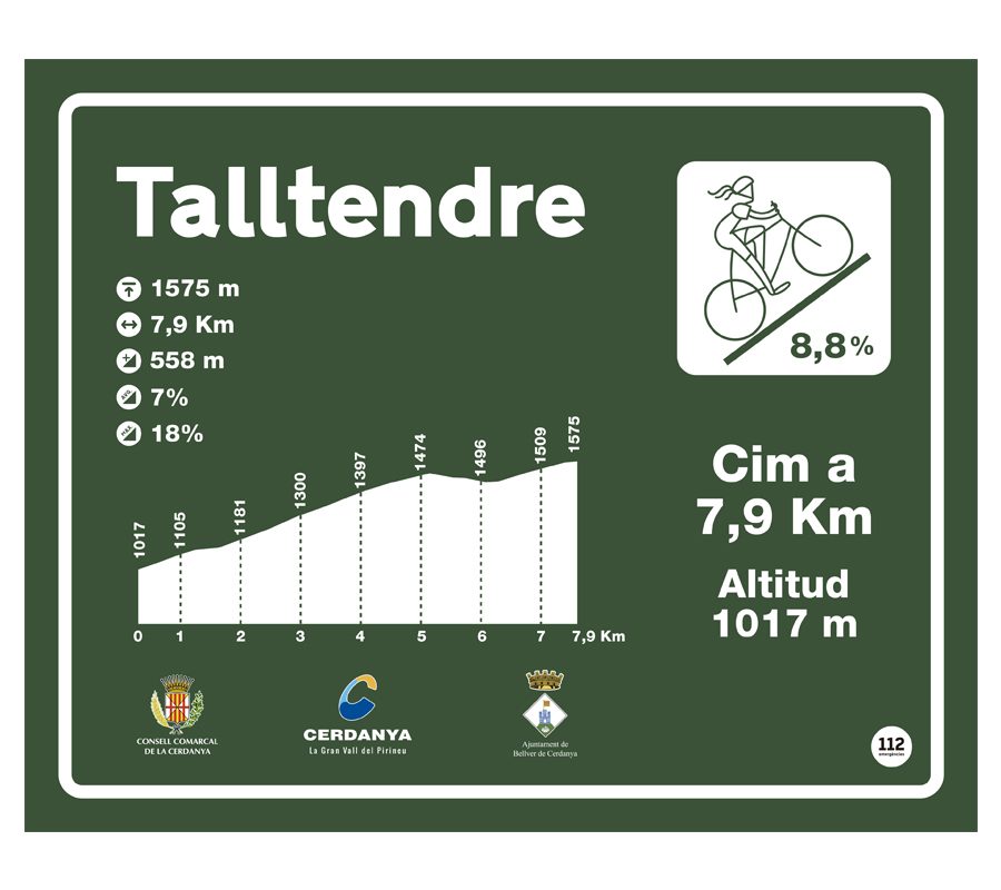
Mythical ascent from Bellver de Cerdanya to Talltendre, a small town in the region with fantastic views of Cadí.

Map and GPS track