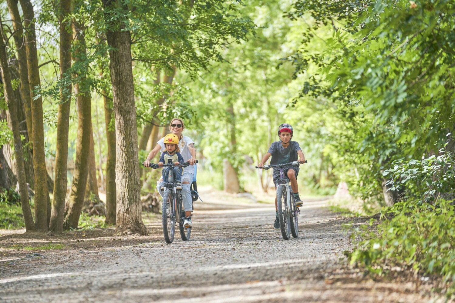
15. La Bastida

15. La Bastida

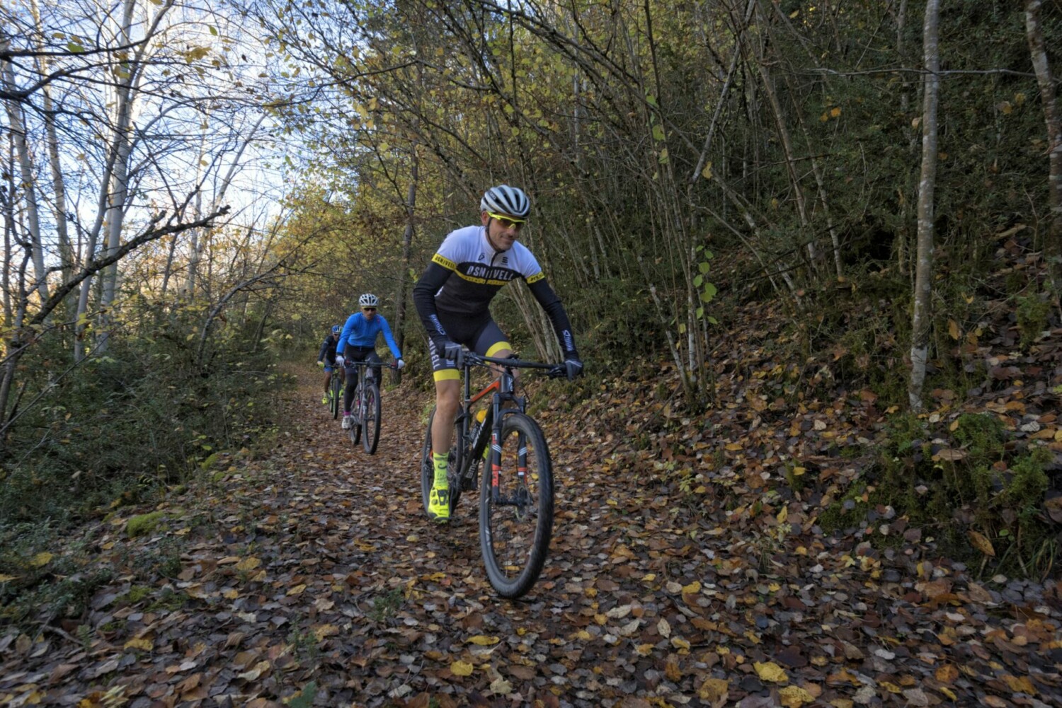
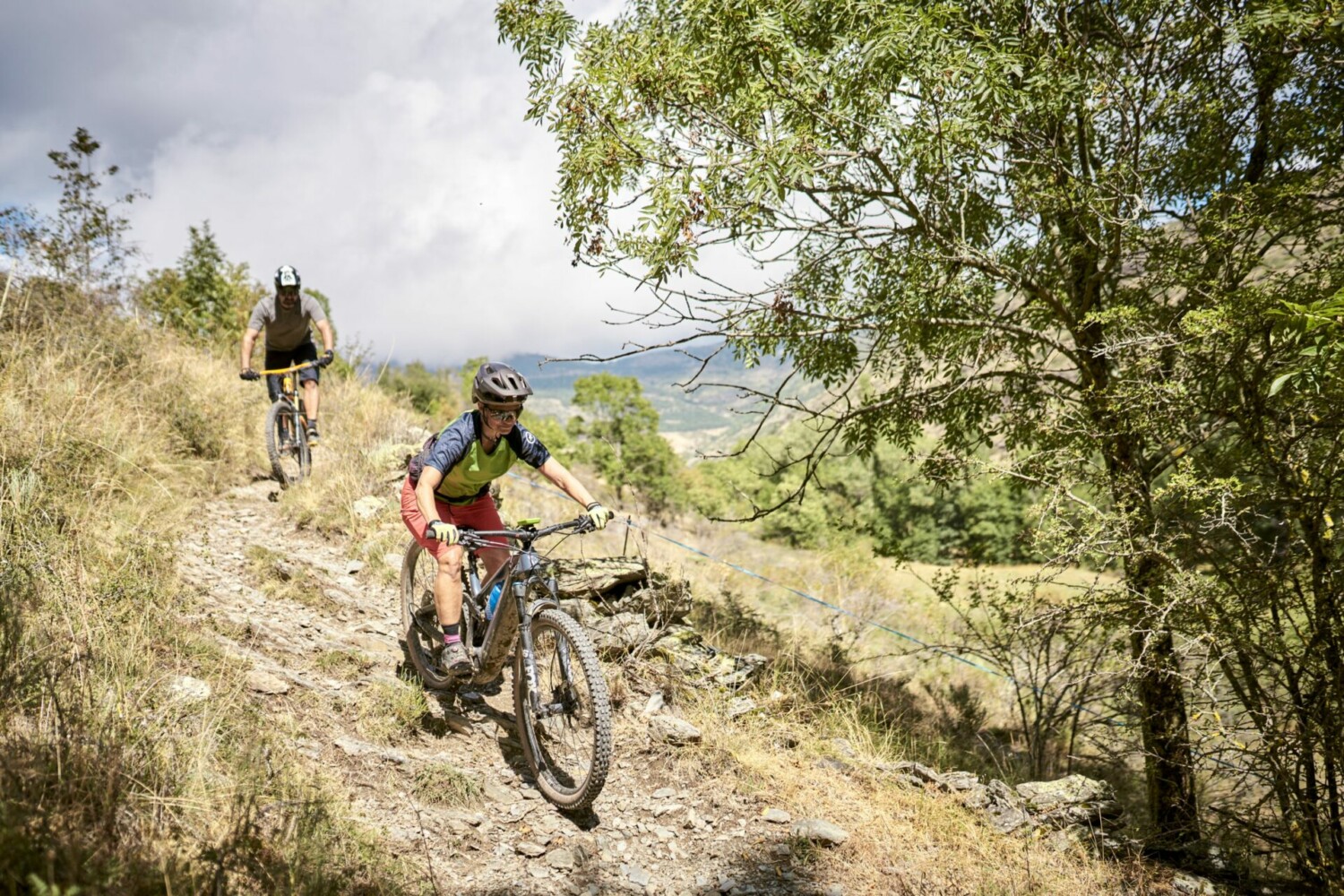
A steady climb to the Bastida for fantastic views over the Serra del Cadi followed by an easy descent to Prullans.


15. La Bastida

TECHNICAL SHEET


Difficulty: Difficult

Difficulty E-bike: Difficult

Departure point: C. del Puig de Prullans (in front of Local Social)

Distance: 15,1 km

Incline: + 561 m

Estimated time: 2 h 30 min

Route type: circular

Tracking: GPS

Type of land: 89 % path; 11 % asphalt

Map and altimetry


14. Tour Around Prullans

14. Tour Around Prullans

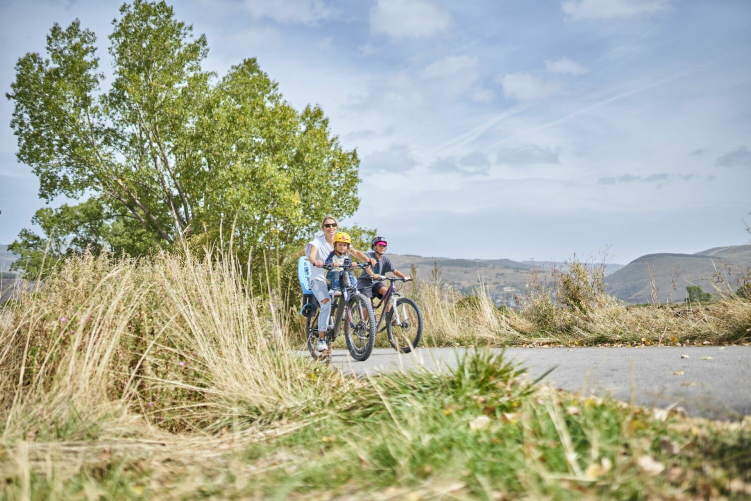
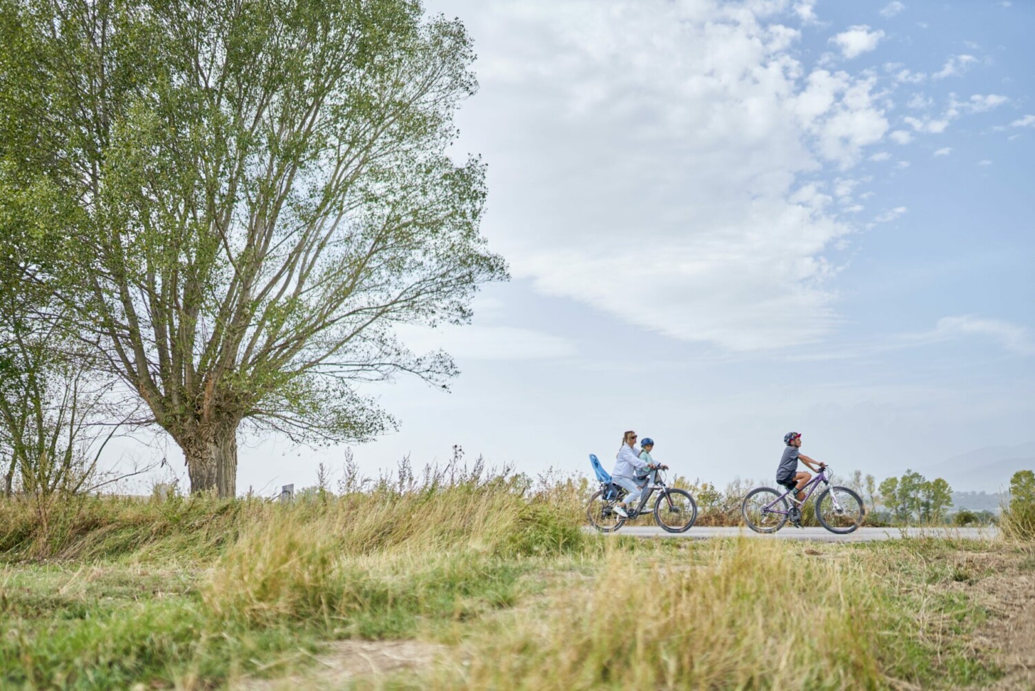
This tour around Prullans is suitable for everyone. Pay attention when crossing the N-260 road.


15. La Bastida

TECHNICAL SHEET


Difficulty: Very Easy

Difficulty E-bike: Very Easy

Departure point: C. del Puig de Prullans (in front of Local Social)

Distance: 5,3 km

Incline: + 131 m

Estimated time: 1 h

Route type: circular

Tracking: GPS

Type of land: 60 % path; 40 % asphalt

Map and altimetry


13. Arctic – Roca Foradada – Gònec

13. Arctic – Roca Foradada – Gònec

Itinerary that covers a large part of the route of the “Corbells BTT” race, that is organized every year by the Bellver Cycling Club. In this circular route, you go up the track of the Vall de l’Ingla towards the Arctic to jump towards the mountain of Pi. There you take the Roca Foradada single track to go to the Gònec refuge, inside the Cadí Moixeró natural park. From the refuge, take the Corriol del Gònec, a 5 km single-track descent, where you will enjoy good views of the Vall de Pi, to reach Cortariu. From there you will descend towards Torrent de Pi to return to the starting point.


13. Arctic – Roca Foradada - Gònec

TECHNICAL SHEET


Difficulty: Very difficult

Difficulty E-bike: Very difficult

Departure point: Centre de Talló

Distance: 25,4 km

Incline: + 834 m

Estimated time: 3 h 30 min

Route type: circular

Tracking: GPS

Type of land: 60 % path; 38 % single track; 2 % asphalt

Map and altimetry


12. La Solana Single Tracks

12. La Solana Single Tracks

Very fun itinerary through the single tracks of the Solana de Bellver.During the route you will do two of the trails most known to the people of the town, such as Spicy Cuca and Cudu Trail, the first with a high difficulty, where you will find jumps and technical descents and the second an easier trail, but very playful with many curves at the end. This route stands out for the views you have over the town of Bellver de Cerdanya and the municipality, and also because 90% of the route is on single tracks.


12. Corriols de la Solana

TECHNICAL SHEET


Difficulty: Difficult

Difficulty E-bike: Difficult

Departure point: Centre de Talló

Distance: 13,7 km

Incline: + 407 m

Estimated time: 1 h 30 min

Route type: circular

Tracking: GPS

Type of land: 70 % single track; 30 % asphalt

Map and altimetry


11. Sant Silvestre

11. Sant Silvestre

An easy trail that follows the route of the Sant Sivestre race which is organised each year at Bellver de Cerdanya. Stop at the halfway point to admire one of the most beautiful Romanesque churches of the region; Sant Serni de Coborriu.


11. Sant Silvestre

TECHNICAL SHEET


Difficulty: Very Easy

Difficulty E-bike: Very Easy

Departure point: Centre de Talló

Distance: 5,1 km

Incline: + 74 m

Estimated time: 45 min

Route type: circular

Tracking: sign posts and GPS

Type of land: 90 % path; 10 % asphalt

Map and altimetry


10. La Solana

10. La Solana

A difficult trail with a climb of over 1000m to get to Meranges, the highest municipality capital in Catalonia. There is a technical and fun run back down the hill. At the end of the route, you will find some trails of medium difficulty, bordering the Duran river with a hard climb of 1 km before reaching Olopte, suitable only for the bravest.


10. La Solana

TECHNICAL SHEET


Difficulty: Very difficult

Difficulty E-bike: Very difficult

Departure point: Entrance of the town of Ger

Distance: 35,7 km

Incline: + 1.134 m

Estimated time: 4 h 30 min

Route type: circular

Tracking: GPS

Type of land: 50 % path; 45 % single track; 5 % asphalt

Map and altimetry


09. Riberes del Segre

09. Riberes del Segre

Gentle and beautiful trail mostly along the Segre river, where you will enjoy the riverbank forest a lot. You can cross the Segre river using the Palanca de Sanavastre, a lever for the exclusive use of pedestrians and cyclists that connects the villages of Ger and All with Sanavastre, as has been done traditionally. The trail runs largely along the Camí de Sant Jaume.


09. Riberes del Segre

TECHNICAL SHEET


Difficulty: Easy

Difficulty E-bike: Very Easy

Departure point: Entrance of the town of Ger

Distance: 16,6 km

Incline: + 105 m

Estimated time: 2 h

Route type: circular

Tracking: sign posts and GPS

Type of land: 64 % path; 10 % single track; 26 % asphalt

Map and altimetry


05. Cross-border route

05. Cross-border route

An easy trail between villages, fields and prairies which lets us join the itinerary 8 on the “Pyréenés Cerdagne Mountain bike” site, which starts in Osséja.


05. Ruta transfronterera

TECHNICAL SHEET


Difficulty: Very Easy

Difficulty E-bike: Very Easy

Departure point: 4 Camins Park in Puigcerdà

Distance: 10,9 km

Incline: + 104 m

Estimated time: 1 h 30 min

Route type: circular

Tracking: sign posts and GPS

Type of land: 46 % path; 54 % asphalt

Map and altimetry


03. Tour to Targasona

03. Tour to Targasona

A difficult crossborder circuit which crosses small villages and offers unique views of Cerdanya. You will also pass close to the Solar Central Thémis. Along the way we find a single track, which is a difficult portion, much appreciated by fans of downhill runs and is appropriate only for the more experienced biker.


03. Volta a Targasona

TECHNICAL SHEET


Difficulty: Very difficult

Difficulty E-bike: Difficult

Departure point: Sant Guillem Park in Llívia

Distance: 28,4 km

Incline: + 843 m

Estimated time: 3 h 45 min

Route type: circular

Tracking: GPS

Type of land: 77 % path; 8 % single track; 15 % asphalt

Map and altimetry


02. Tour to Cereja

02. Tour to Cereja

A simple trail with a steep slope from Llivia to Cereja from where you will have fantastic views of Llivia and the Cerdanya. Along the way you can see the sources of “Sofre” and “Ferro”. At the halfway point don’t miss the small waterfall a few meters off the way.


02. Volta a Cereja

TECHNICAL SHEET


Difficulty: Easy

Difficulty E-bike: Very Easy

Departure point: Sant Guillem Park in Llívia

Distance: 9,9 km

Incline: + 223 m

Estimated time: 1 h 30 min

Route type: circular

Tracking: sign posts and GPS

Type of land: 80 % path; 20 % asphalt

Map and altimetry