25. Cross Country Track

25. Cross Country Track

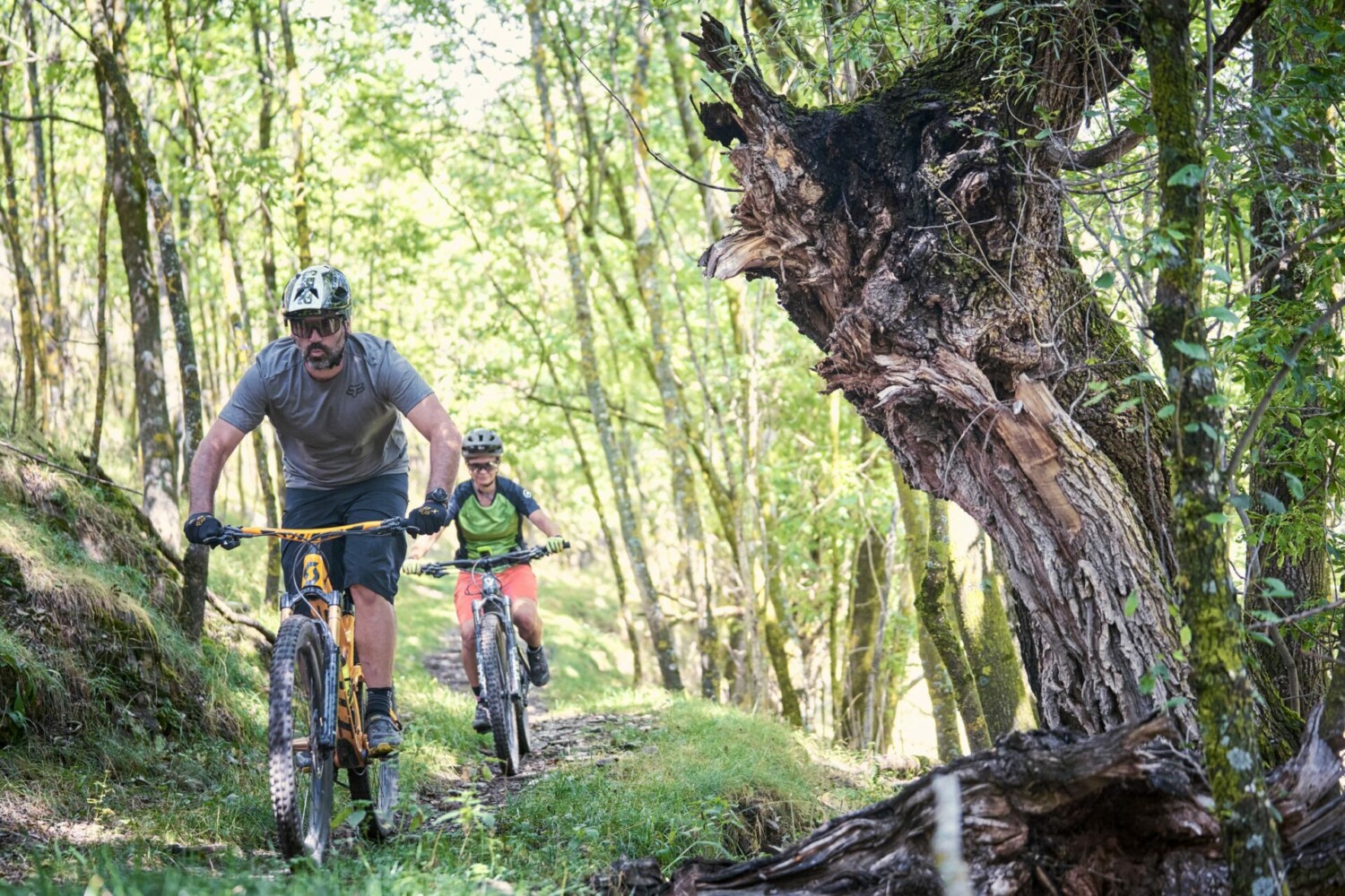
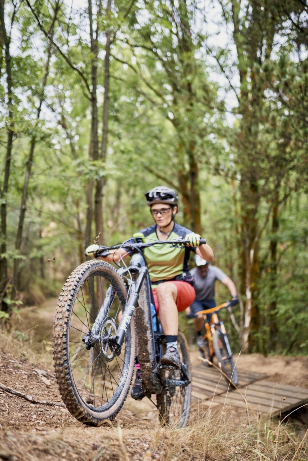
If you like mountain bike racing, this place will make you feel like those who compete in the Cross Country World Cup. This is a great place for competitive training at 1600m altitude.


25. Circuit de Cross Country

Technical sheet


Difficulty: Difficult

Difficulty E-bike: Difficult

Departure point: In front of the Cadí Moixeró Cable Car

Distance: 10,4 km

Incline: + 235 m

Estimated time: 1 h 45 min

Route type: circular

Tracking: GPS

Type of land: 30 % path; 60 % single track; 10 % asphalt

Map and altimetry


24. Coll de Pal

24. Coll de Pal

Trail that goes between the forest and the slopes of the Molina ski station up to the Coll de Pal, before going back to the starting point.


24. Coll de Pal

TECHNICAL SHEET


Difficulty: Easy

Difficulty E-bike: Easy

Departure point: In front of the Cadí Moixeró Cable Car

Distance: 13,3 km

Incline: + 503 m

Estimated time: 2 h 30 min

Route type: circular

Tracking: sign posts and GPS

Type of land: 95 % path; 5 % single track

Map and altimetry


23. La Molina Lakes tour

23. La Molina Lakes tour

A very flat intinerary for all publics, which surrounds the lakes of the Molina ski resort.


23. Volta pels llacs de la Molina

TECHNICAL SHEET


Difficulty: Very Easy

Difficulty E-bike: Very Easy

Departure point: In front of the Cadí Moixeró Cable Car

Distance: 3,7 km

Incline: + 69 m

Estimated time: 40 min

Route type: circular

Tracking: sign posts and GPS

Type of land: 100 % path

Map and altimetry


22. Alp – La Pia – La Molina – URTX

22. Alp – La Pia – La Molina – URTX

Itinerary through the Alp mountain that takes us to the surroundings of the ski resorts of Masella and La Molina. Climb up to the plan in the vicinity of Pla de les Forques.


22. Alp - La Pia - La Molina - URTX

TECHNICAL SHEET


Difficulty: Very difficult

Difficulty E-bike: Difficult

Departure point: C. Mancomunitat d’Alp

Distance: 30 km

Incline: + 1.051 m

Estimated time: 3 h

Route type: circular

Tracking: sign posts and GPS

Type of land: 80 % path; 5 % single track; 15 % asphalt

Map and altimetry


21. Pla de l’Escobairó

21. Pla de l’Escobairó

Climb from the village of Alp, passing through Roca Castellana, to the Torre de l’Escobairó, in Masella, from where you will enjoy one of the best views of the entire Cerdanya region. Fun descent until you reach the Tartera Plateau and return to Alp.


21. Pla de l'Escobairó

TECHNICAL SHEET


Difficulty: Difficult

Difficulty E-bike: Difficult

Departure point: C. Mancomunitat d’Alp

Distance: 20,4 km

Incline: + 647 m

Estimated time: 2 h 30 min

Route type: circular

Tracking: sign posts and GPS

Type of land: 70 % path; 5 % single track; 25 % asphalt

Map and altimetry


20. El Pla d’Alp

20. El Pla d’Alp

Climb from the village of Alp, passing through Roca Castellana, to the Torre de l’Escobairó, in Masella, from where you will enjoy one of the best views of the entire Cerdanya region. Fun descent until you reach the Tartera Plateau and return to Alp.


20. El Pla D’alp

TECHNICAL SHEET


Difficulty: Easy

Difficulty E-bike: Easy

Departure point: C. Mancomunitat d’Alp

Distance: 11,9 km

Incline: + 106 m

Estimated time: 1 h 30 min

Route type: circular

Tracking: sign posts and GPS

Type of land: 70 % path; 10 % single track; 20 % asphalt

Map and altimetry


19. Estana – Trinxa Cerdanya

19. Estana – Trinxa Cerdanya

A route that covers a large part of the “Trinxa Cerdanya BTT” race route, and takes us to the Cadi Moixeró Natural Park, and introduces us to the magnificent towns of Baridà. It also goes past bunkers which were built in the middle of 20th century. It starts by an ascent single track to the town of Béixec, and continues uphill to the town of Estana. Once the maximum height of the route has been crowned, you will begin a long descent where you will enjoy a technical trail, at the end of the descent, characterized by the large number of curves you will find there.


19. Estana – Trinxa Cerdanya

TECHNICAL SHEET


Difficulty: Very difficult

Difficulty E-bike: Very difficult

Departure point: Camí de Montellà car park, in Martinet

Distance: 22,3 km

Incline: + 685 m

Estimated time: 3 h 30 min

Route type: circular

Tracking: GPS

Type of land: 35 % path; 60 % single track; 5 % asphalt

Map and altimetry


18. Travesseres – Lles – Mussa

18. Travesseres – Lles – Mussa

This demanding trail follows a continuous ascent until Lles de Cerdanya and with a spectacular descent through single tracks, passing by the famous “Pont del Diable” before coming back to Martinet.


18. Travesseres - Lles - Mussa

TECHNICAL SHEET


Difficulty: Difficult

Difficulty E-bike: Difficult

Departure point: Camí de Montellà car park, in Martinet

Distance: 20 km

Incline: + 678 m

Estimated time: 3 h

Route type: circular

Tracking: GPS

Type of land: 60 % path; 10 % single track; 30 % asphalt

Map and altimetry


17. Camí de la Llúdriga

17. Camí de la Llúdriga

Linear route (out and back on the same path), very flat and simple, next to the Segre river. Ideal for the smallest cyclists of the house. It is a very special area, as it is the natural habitat of the otter.


17. Camí de la Llúdriga

TECHNICAL SHEET


Difficulty: Very Easy

Difficulty E-bike: Very Easy

Departure point: Camí de Montellà car park, in Martinet

Distance: 5,4 km

Incline: + 38 m

Estimated time: 50 min

Route type: linear

Tracking: sign posts and GPS

Type of land: 75 % path; 25 % asphalt

Map and altimetry


16. La Llosa

16. La Llosa

A difficult climb through the Llosa valley passing through the fantastic Moli del Salt then back down to Prullans by passing through Talltendre and Ordèn. The single track from Ordèn to Anes is technically difficult. Along the route you will see magnificent examples of romanesque Cerdan art, like the Sant Antoni, Sant Iscle and Santa Victoria de Talltendre, Santa Maria d’Orden and sant Mamet d’Anes churches.


16. La Llosa

TECHNICAL SHEET


Difficulty: Very difficult

Difficulty E-bike: Difficult

Departure point: C. del Puig de Prullans (in front of Local Social)

Distance: 26,5 km

Incline: + 780 m

Estimated time: 3 h 45 min

Route type: circular

Tracking: GPS

Type of land: 90 % path; 10 % asphalt

Map and altimetry